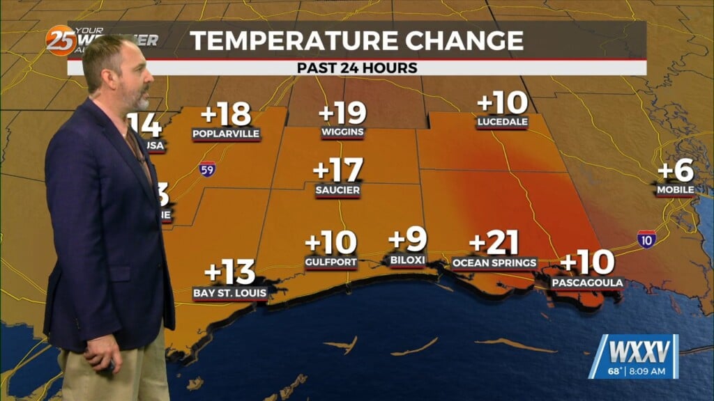
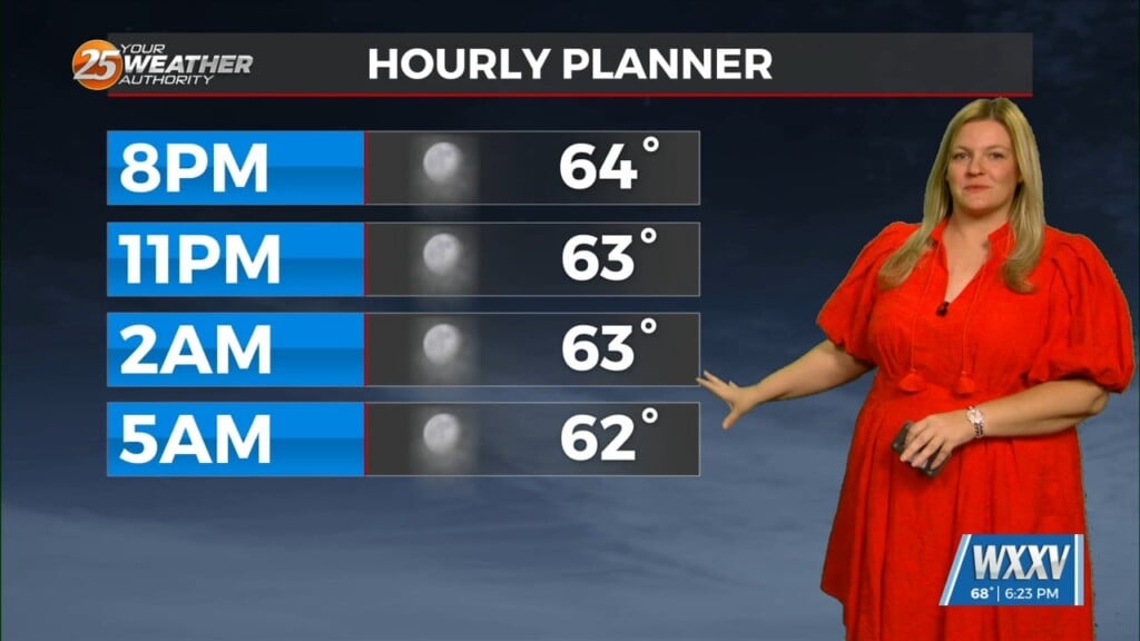
3/22 – Rob Knight’s “SEVERE THREAT” Tuesday Morning Forecast
The area is under an ENHANCED/MODERATE threat for severity…especially noon through midnight
WATCHES/WARNINGS include: Wind Advisory, Flood Watch, Coastal Flood Advisory & Small Craft Advisory.
Some prefrontal activity does get going this morning but low instability, these showers and maybe a thunderstorm should not be the main interest today, although will be watched. Looking at the main event, all parameters seem to indicate forcing to any cells that develop ahead of the main line is lacking but there is opportunity if cloud cover can be eroded and enough heating can be achieved.
The main forcing will be provided by the front itself. With the main support moving near and then north of the area, there is a good chance that some cells along the line will produce strong damaging winds and tornadoes.
PROBABILITIES: Damaging Winds 16%, Tornadoes 14% and Hail 11%.
The question again will be how many storms will produce with the stronger variables NW and north of the area, would not be surprised to see the highest risk areas shifted north a bit but still covering a large portion of the area.


