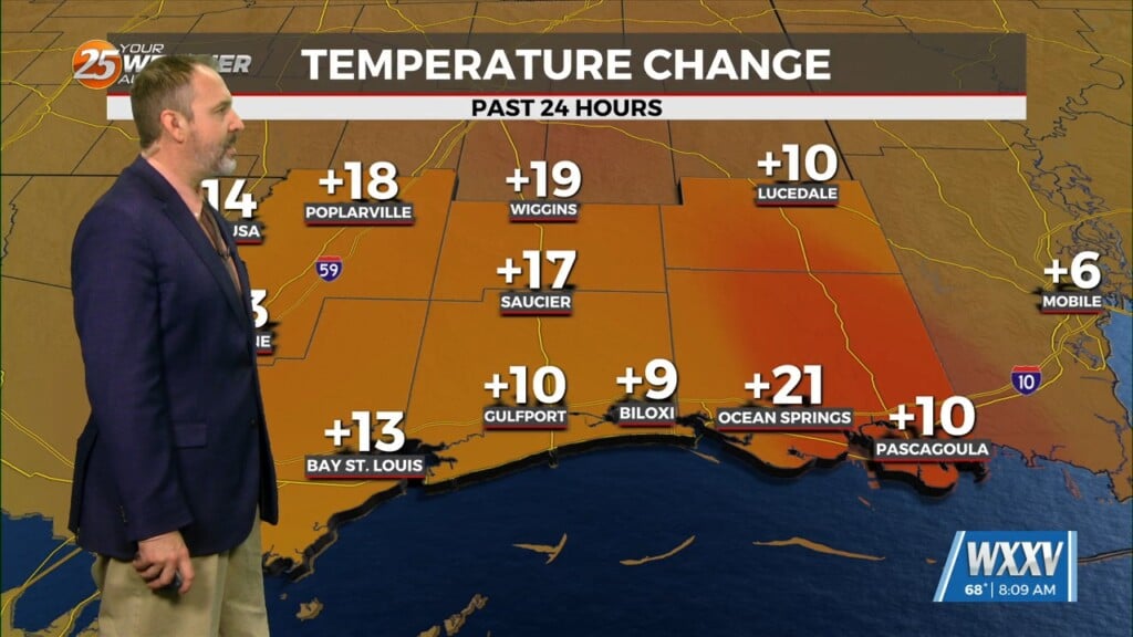
3/20 – The Chief’s “Sunny, With Warmer Temperatures” Wednesday Morning Forecast
A slight amplification in the overall pattern with an area of high-pressure overhead allow for temps to moderate closer to climatological normal highs, albeit slightly below those actual values. Benign conditions persist with sunshine and a few upper level clouds today along with clear skies leading to decent radiational cooling overnight. Low temperatures will be in the 40s to low 50s.
A cutoff upper low currently centered over Southern California will begin tracking east as deep trough now over the northeastern US moves offshore. Operational global models are quite close in timing and placement of this system, with it tracking across the Lower Mississippi Valley on Friday. Most of the stronger convection should remain offshore. A very low threat for severity should accompany this system but confidence is rather low for anything more than perhaps some strong straight line winds and maybe small hail.m
Benign weather returns this weekend as the disturbance shifts east and an upper level ridge amplifies across the region in the wake of this system. We will find moderating temps through Sunday with highs well into the 70s, possibly approaching 80 in isolated locations.


