3/20 – The Chief’s “Freeze Warning/Final Morning Of Winter” Forecast
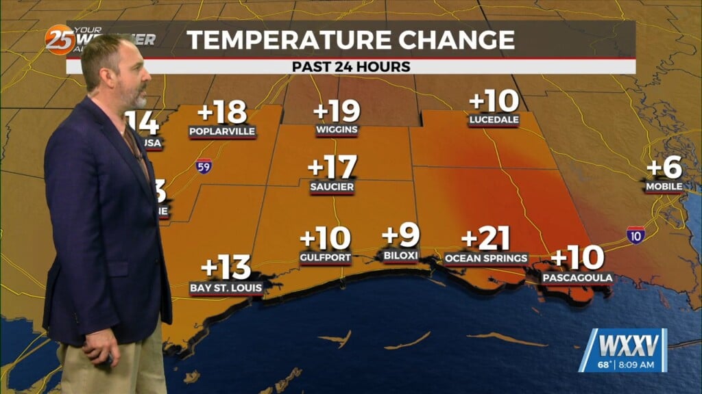
A TRUE winter morning on this final day of the season, as a FREEZE WARNING is in effect through 10 am. Temperatures will rebound quickly after sunrise and all locations should be above freezing by about 10 am. With the upper pattern turning more zonal, cold air advection will shut off and afternoon highs will rise into the mid to upper 50s. Actually wouldn’t be surprised to see a few places rise above 60 if we see enough sunshine.
Temperatures fall quickly after sunset, but as the high begins to shift eastward, winds will respond accordingly by shifting to the east and then southeast as temperatures may actually start rising before sunrise especially in southern and coastal areas.
Zonal flow will dominate the upper level pattern Tuesday followed by strong high pressure influencing the area Wednesday and Thursday. Southerly surface winds will advect warm air and moist air into the area throughout the week. Tuesday through Thursday, looking at the models, will be pretty dry with above average temperatures. We will warm up considerably from Tuesday through the end of the week.
Friday, an upper level system will move through the area. It is too soon to discuss many details. But strong warm air advection ahead of the system will help enhance instability. Weak upper level divergence will help to enhance lifting in the environment. Some strong storms may be possible, if there is decent shear. Currently in the models, shear seems fairly weak overall. But that will depend on how far north the best forcing ends up being. Looking at the current pattern in the models, there could also be some concern for flash flooding given the orientation of the line and the slower shear/movement. It will be something worth monitoring as we get closer to the event.


