3/19 – Jeff’s “Chilly/Changing Pattern” Tuesday Night Forecast
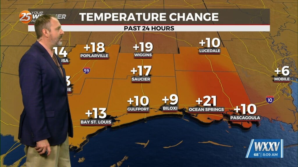
Temperatures will be cold again for your Wednesday morning. Frost development should not be too widespread north of the interstate due to some cloud cover moving in. The immediate coast will be slightly warmer for the most part & there will not be a wind chill factor. Wednesday brings a mild day following the cold start with partly cloudy skies. Changes arrive for the latter half of the week.
A developing frontal system will bring rain chances for the end of the week. Thursday brings the initial wave of rain with the possibility of thunderstorms offshore completely cutting our area off from moisture. A 40% chance of rain Thursday turns into a 60% chance of rain on Friday. Thunderstorms are mostly off the table and severe weather is off the table. It will be breezy at times & a warmer stretch arrives by the end of the week.


