3/1 – Jeff Vorick’s “Drying Out” Friday Evening Forecast
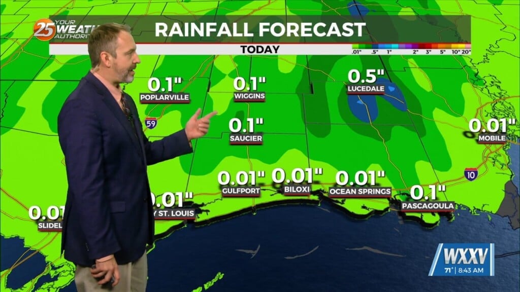
Expect mainly dry conditions this evening into the overnight hours. A 20% chance of a stray shower cannot be ruled out but the main concern will become fog. Humid conditions, a low-level cloud deck, and southerly winds will contribute to periods of reduced visibility. Fog will be at its worst overnight and through the mornings but some spots south of I-10 will be dealing with sea fog.
Mostly rain-free conditions can be expected this weekend. There will not be a lot of forcing in the atmosphere to contribute to anything other than a few showers. Most activity remains well offshore so stray showers with rain chances of around 20% are all we can expect Saturday and Sunday. Temperatures will be warmer with mornings in upper-50s to lower-60s and afternoons in the 70s.
Above-average warmth continues into the new week. The first full week of March will bring an unsettled pattern to the area. An area of low pressure will move through the region Monday into Tuesday. Rain chances elevate by the second half of Monday and Tuesday looks to feature a near wash-out for the first part of the day.


