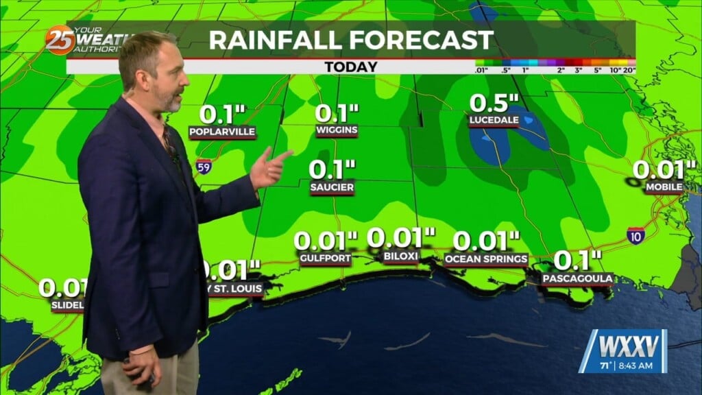
2/23 – The Chief’s “Clouds Clearing, Often Breezy” Friday Morning Forecast
A cold front has cleared the area with cloud coverage clearing from west to east. The upper-level feature will also move through the area today as well with the region moving under northwest flow. This will persist through the weekend drying the area out. This should allow for a decent radiational cooling conditions the next few nights, especially Saturday night but we will not see any impacts as lows likely remain in the 40s. As for afternoon high temperatures, it will be very pleasant with temperatures climbing into the 70s.
Models are in good agreement but start to deviate rather significantly heading into the middle of the upcoming week. Zonal flow to start the work week will continue through Wednesday. This will allow low level temperatures to continue to slowly climb and highs by Tuesday and Wednesday will likely climb into the upper 70s and lower 80s across much of the area.


