2/14 – Brittany’s “Mild Valentine’s Day” Tuesday Evening Forecast
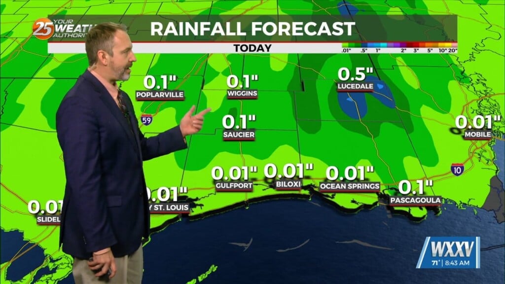
Warm and moist air will stick around until Thursday after the main cold front moves through. This will keep us warmer than average tomorrow and Thursday ahead of that front. Some showers are possible with the first front, mainly in the northwestern portions of the area as it comes and stalls before advancing north as the parent trough moves by.
The bulk of the short-term discussion will be focused on the severe weather potential on Thursday. As previously mentioned, due to the stalling and eventual northward progression of the leading cold front, rather warm and moist surface conditions will be in place on Thursday as high temperatures look to be in the upper 70s with dewpoints in the low 70s. The warm and moist surface conditions coupled with the decent lapse rates (6-6.5 C/km) will support a moderately unstable environment Thursday afternoon.
After the cold front, temperatures will be below average headed into the weekend. The colder, drier air mass accompanied by surface high pressure will keep rain chances minimal through the period, but winds will remain breezy out of the north through Friday night keeping wind chills in the 20s to low 30s on Friday and Saturday morning. As the surface high begins to push eastward into the Atlantic coast on Saturday night, winds will gradually weaken and become easterly and then more southerly as the forecast area becomes situated on the western periphery of the high. Amplifying mid-level ridging should assist in maintaining drier/stable conditions and enabling a quick warming trend into early next week. By Monday, the southerly return flow regime will be in place allowing Gulf moisture to stream northward across the area. High temperatures will be back in the 70s with low temperatures progressively more stifled by the rising dew point temperatures on Tuesday morning. With increasing moisture present, rain chances could begin to increase by midweek next week. However, uncertainty remains regarding the progression of a complex shortwave/longwave trough interaction across the central and western CONUS which will determine whether or not mid-level ridging over the Gulf of Mexico begins to erode or not.


