12/30 – Rob’s Final Forecast of 2016
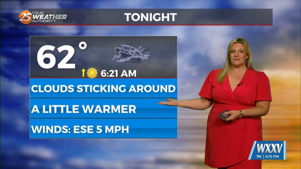
After a COLD start, high-pressure to our NW will continue to move to the East…providing for a return-flow increasing humidity, temps and fueling an approaching cold front to the NW. The front will move into our western region tomorrow morning and begin to stall. This will bring isolated showers to the area late in the afternoon/evening before increasing through the midnight time-frame.
MIDNIGHT; will bring scattered showers, warm temps in the low 60s and patchy DENSE FOG.
The 1st day of 2017 will bring the potential foe widespread rain along with HEAVY RAIN possible Monday.


Leave a Reply