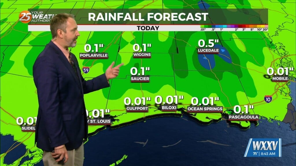
12/6 – The Chief’s “Clearing Skies & Breezy” Wednesday Morning Forecast
A large upper disturbance over the eastern states will continue to move off into the western Atlantic on later today. High pressure albeit fairly weak…will begin to move in and shape the forecast over the next 36 hours. Upper level moisture will linger today before clearing later this afternoon. High temperatures will be a bit below seasonal values to include overnight lows which will dip into the mi/upper 30s tonight. A return flow is expected to reestablish Thursday and moisture flow will begin to saturate the atmosphere.
A broad upper high pressure continues across the eastern states through Friday night as an upper weakness amplifies significantly while progressing from the northwest states into the central states. The upper weakness continues into the eastern states over the weekend, and in the process an associated surface low brings a strong cold front through the forecast area Saturday night.
The low-level jet looks to increase to around 30 knots by Saturday afternoon and potentially reaches 40 knots immediately prior to the front moving through, which should result in sufficient shear to warrant concern for strong storms. However, despite the improving trend in deep layer moisture, model still show severe parameter values remain limited. SPC does have the extreme northwest portion of the forecast area outlooked with a 15% risk area for Saturday through the frontal passage, and will continue to monitor for potential impacts over the forecast area.


