12/22 – The Chief’s “Christmas Eve, Eve, Eve” Or Friday Morning Forecast
Weak upper level high pressure is currently over the southern Gulf of Mexico with a weakness moving eastward through Kansas. A stronger disturbance was along the West Coast with an embedded upper low pressure southwest of San Diego. At the surface, high pressure was centered over West Virginia, with low pressure over Nebraska. There is a cold front from the Nebraska low into west Texas. The Kansas disturbance will move eastward today with no major impacts to the local area.
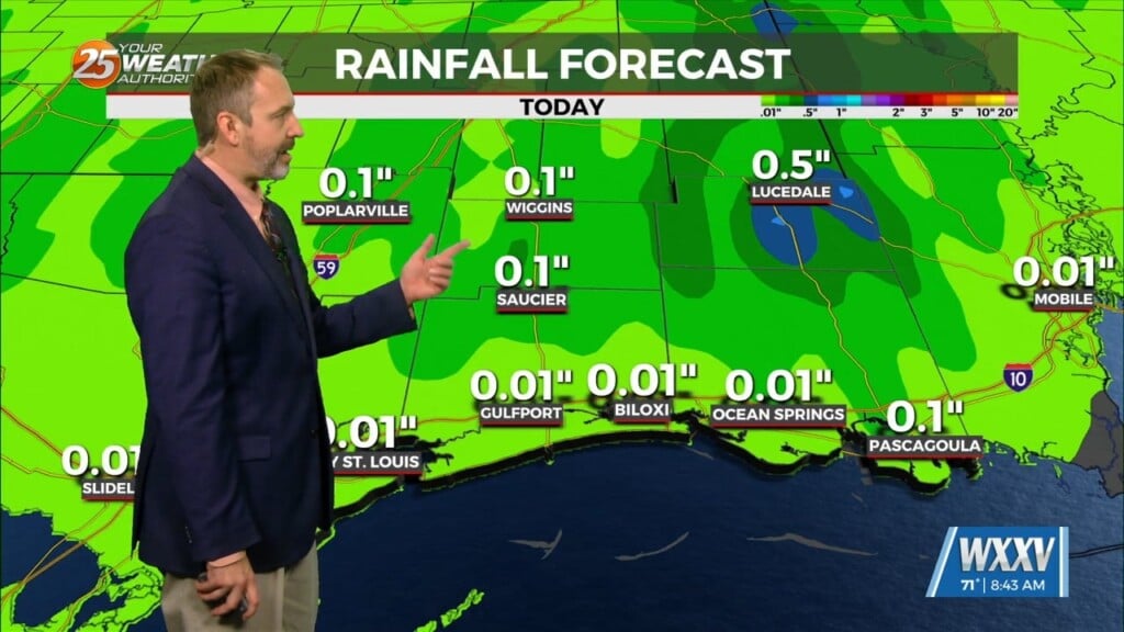
The main weather impacts for this forecast package will be Sunday and Sunday night. The high pressure will move east to the Appalachians by Sunday morning, with upper weakness from the Canadian Prairie Provinces to Colorado. Moderate onshore flow will be increasing moisture levels, with precipitable water values increasing to around 1.5 inches by Sunday morning. The lead disturbance will spread widespread precipitation into the area Sunday morning, with the main trough to push the frontal boundary across the area Sunday night into Monday morning. Instability will be rather lacking with this system, and any threat of thunderstorms is expected to be rather isolated, and probably limited to Sunday evening. Forecast rainfall amounts are likely to fall into the 1-3 inch range with the highest totals potentially on the Mississippi coast. Spot totals above that are possible. It`s possible that rainfall rates over urban areas could produce brief street flooding issues Sunday afternoon or Sunday night, but that should be limited in scope. WPC is carrying a Slight Risk of Excessive Rainfall for the Sunday/Sunday night period for our entire area. Expect lingering rain chances into early Monday morning.
Models show significant drying in the mid and upper levels Christmas morning into the afternoon hours, and it’s not out of the question that we see some sunshine in the afternoon hours. Upper ridging over Cuba will put the local area in southwesterly upper flow for Tuesday through Thursday, with a weak disturbance moving through that flow. The airmass will be fairly dry, but can’t rule out isolated showers, particularly Tuesday night or Wednesday.


