11/9 – The Chief’s “Changing/Wet Pattern Ahead” Thursday Morning Forecast
Dense fog has developed again across portions of the area this morning. Smoke from the wildfire in New Orleans East could reduce visibility to less than 100 feet across small portions of the area. Dense fog potential is much more uncertain tonight as increasing cloud cover and precipitation ahead of the cold front could make it more difficult for smoke to get trapped and for dense fog to form.
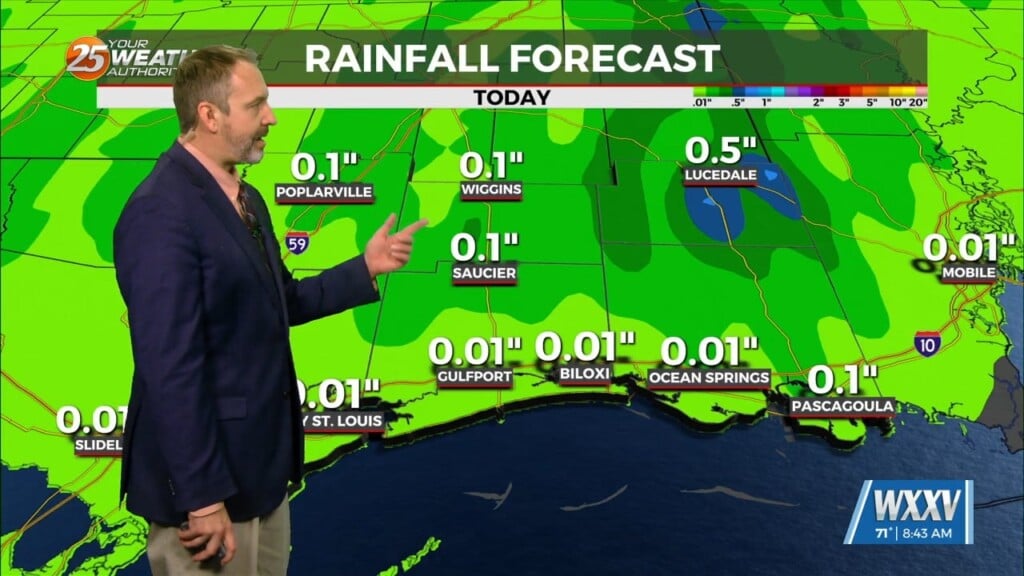
High pressure has shifted eastward to the Atlantic Coast with upper level weakness extending from Lake Superior to the Four Corners region and Baja California. At the surface, high pressure extended from Bermuda to the northern Gulf Coast. Low pressure near Lake Erie had a cold front extending southwest to near Memphis and Dallas. Southerly low level flow will gradually increase moisture levels today as the frontal boundary to the northwest approaches, it will become parallel to the upper flow, slowing it’s forward progress to a crawl. Probably won’t see much, if any, precipitation reach the surface through at least early evening, and more likely after midnight tonight. Not going to be a lot of strong forcing, and instability is lacking, so while much of the area will see some rain tonight into Friday, amounts are likely to remain well under an inch, and probably closer to a half inch. Of course, at this point, we’ll take any rain we can get.
Confidence in specifics of the forecast beyond Saturday will diminish as the upper pattern changes little over the weekend. As weak disturbance will move through the southwesterly mid-level flow, there will be the potential for scattered showers at times through the weekend. Rain amounts will be fairly limited, but anyone looking for sunshine over the weekend locally, is likely to be sorely disappointed. The exact location of the frontal boundary will have an impact on temperatures through the weekend.


