11/30 – The Chief’s “Wet Pattern Ahead” Wednesday Morning Forecast
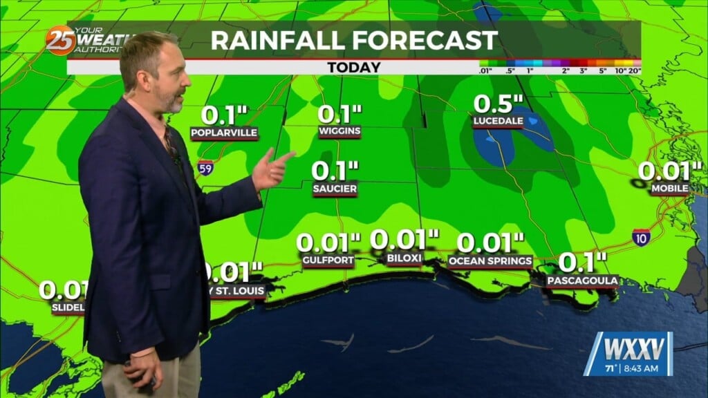
It’s a warmer start this morning but still cold across the region. Surface flow will begin to transition today as the high continues to migrate east and low level pressure gradient tightens across the area bringing with it warm and moist air advection. Aloft, the pattern will shift from a progressive zonal flow to a more active southwesterly flow by this afternoon. Under an area of relatively strong difluence/upper level support and perhaps isentropic upglide downstream of a surface warm front, expect widespread elevated showers and thunderstorms to develop over Texas and move eastward toward our western tier this afternoon. A strong upper level disturbance is expected to move northeastward within the flow around a ridge over the Western Caribbean. As the feature moves downstream, much of the ascent goes with it.
Early Friday we may see a bit of a break in rainfall across the region, however, a weak low pressure system will develop and move along a stalled front draped over the region. This feature along with an enhancement of low level flow will increase continuous precip across the central Gulf on Friday with a somewhat decent soaking rainfall across much of the area.
Going further into the weekend, additional rain chances will occur with additional impulses within the mean southwesterly flow aloft. Overall, models have still had trouble resolving temporally how the front moves beyond Sunday morning. Each run they are showing a progressive or a slower, less transient solution. As for our severe potential, overall it seems to be on the lower end mainly for the threat of heavy rainfall.


