11/3 – Trey’s “Very Pleasant Weekend Ahead” Friday Afternoon Forecast

The upper level pattern is transitioning just slightly with a weak disturbance moving into the central Gulf States today. The best uptick in cloud cover appears to be collocated with the subtropical jet generally from the central Gulf to the Florida Big Bend region. As the low level flow continues to gradually strengthen out of the east today, slightly better moisture quality should be realized. With a bit better moisture within the boundary layer under the impulse, there could be some scattered shower activity…offshore unfortunately.
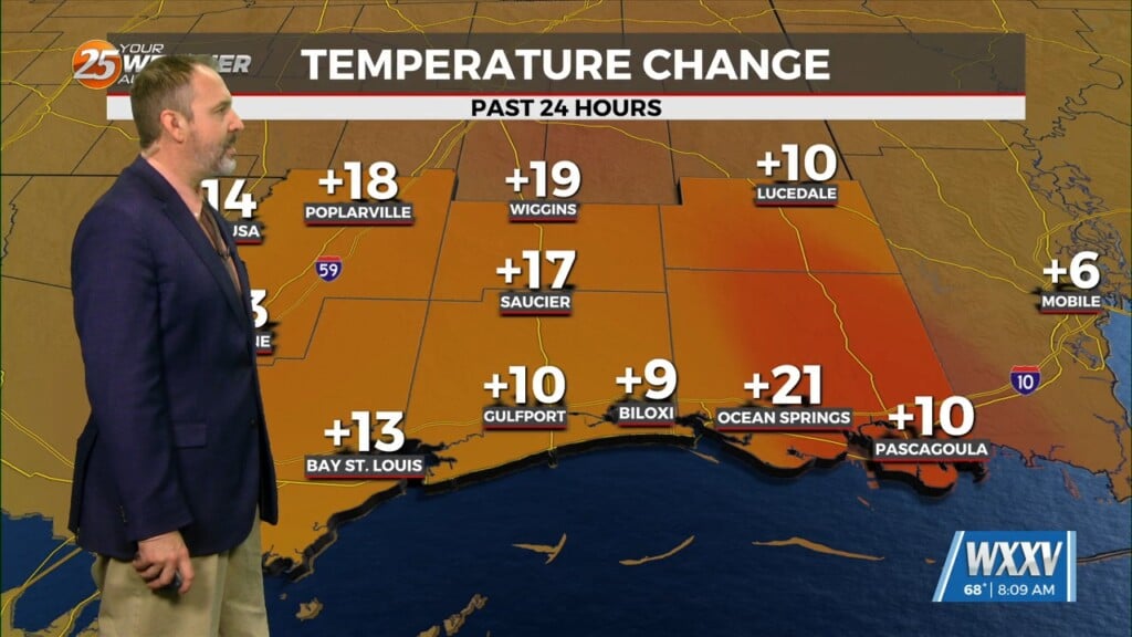
With the low level “somewhat” return flow setting up, today will be a few degrees warmer and a gradual warming trend is anticipated to continue into the upcoming weekend with overnight low (although cool) will increase from the last few nights and daytime highs will warm into the 70s today and to near 80 on Saturday, especially across the western tier with the coolest around the MS Gulf Coast.
The long term continues to look mostly dry and temperatures will rebound back to well above average and perhaps even close to record for some locations. The upper level flow will begin to take on a dry northwesterly flow around high pressure developing across the Bay of Campeche. Early in the week, high pressure will remain in control with generally light low level flow across the region and building upper heights, which will continue to keep the region warm.


