11/13 Ryan’s “Grey Now, Stormy Later” Wednesday Morning Forecast
Yesterday started rainy and ended drier, while today starts drier and ends stormy ahead of cooler, drier weather.
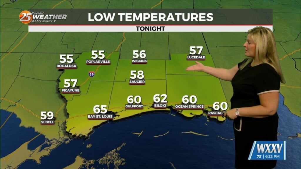
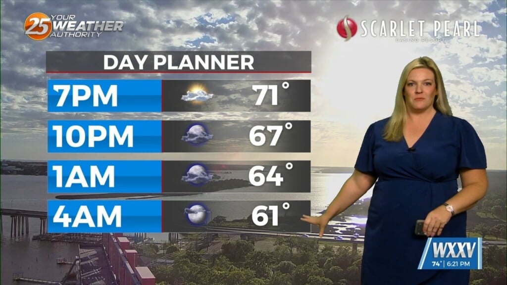
Tuesday was much cooler than it has been thanks to the consistent light rain that stuck with us for the front half of the day, but this morning is drier, warmer, and will be a bit stormy later on. That’s due to an approaching cold front coupled with the remnant low left over from Rafael lingering in the area. This will add just enough lift and moisture to bring about a “marginal,” or “very low” chance of severe weather. That means lightning, damaging winds, tornadoes, and hail are possible…though hail has the lowest chance of occurring. Otherwise, expect it to run warmer than yesterday did with lows around 73 and highs near 80 across South Mississippi.
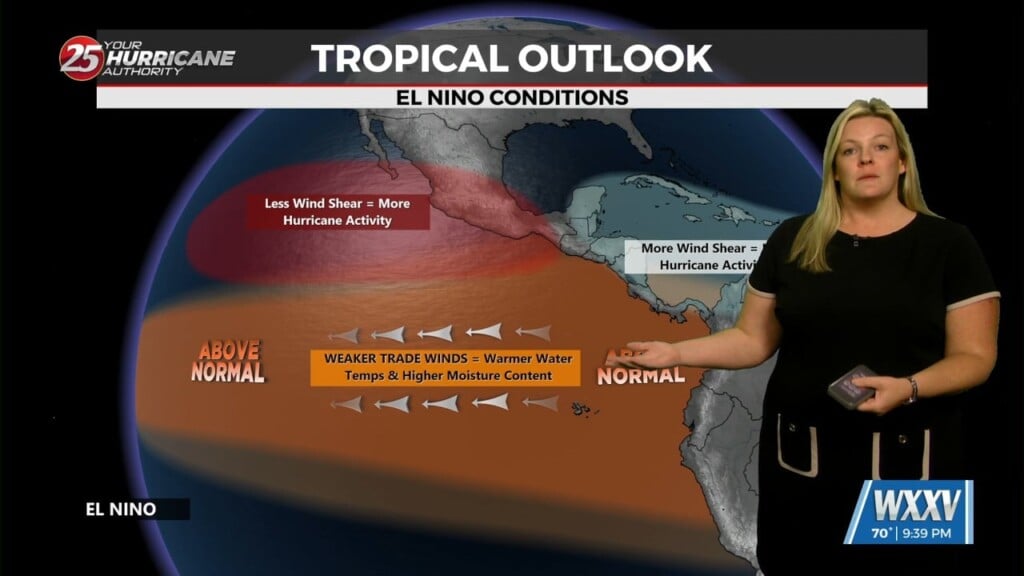
Tropics: we’re still waiting for Sara to come together in the Caribbean, which is likely to happen over the next couple of days. This system looks to hang around the West Caribbean for a few days, then drift northward, possibly landfalling in Southwest Florida as a decently organized storm. For now though it’ll just bring stormy weather to Cuba and the Yucatan Peninsula in the short term.


