11/10 – The Chief’s “Wet & Gloomy” FriYay Morning Forecast
High pressure has shifted well to the east of the area, with a weakness running from the Great Lakes to near Phoenix. At the surface, a frontal boundary extended from near Atlanta to near Houston early this morning. Radar early this morning shows most rainfall northwest of a Jackson to Lake Charles line, but a smaller area of light rain or showers was moving east of the Pearl River Basin and New Orleans.
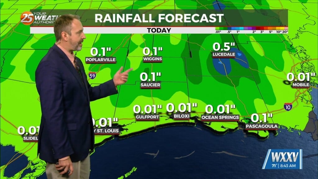
The frontal boundary will continue to ease slowly southeastward over the next 36 hours, eventually sliding off the coast. With the surface boundary becoming parallel to the upper flow, it will become stationary at some point tonight or Saturday. Precipitable water values had already increased to around 1.4 inches on the evening Slidell sounding, with forecast soundings showing that to increase to about 1.8 inches later today into Saturday. We’ll see isotropic lifting continuing to push warm, moist air over the cooler post frontal surface airmass this weekend. That`ll give us cloudy conditions and periods of light rain or showers through Saturday. Rainfall totals will be fairly limited, less than an inch, through Saturday afternoon, but after this lengthy dry spell, will still be welcome. Very little, if any, instability to produce thunderstorms over the next 36 hours, which will hold precipitation numbers down.
With the frontal boundary stationary near the area and southwest upper flow continuing, I don’t expect to see sunshine any time soon. Clouds will remain across the area this weekend, although there may be a relative lull in rain chances from late Saturday night through Sunday night as one shortwave moving out of the southwestern trough shears out north of the local area. The southern weakness eventually gets ejected out of Mexico Sunday night as another disturbance moves onto the Pacific Coast. This is expected to produce a more significant area of rainfall across the area beginning during the day on Monday through Tuesday afternoon or Tuesday night.


