10/26 – Rob’s “Big Changes Ahead” Afternoon Forecast
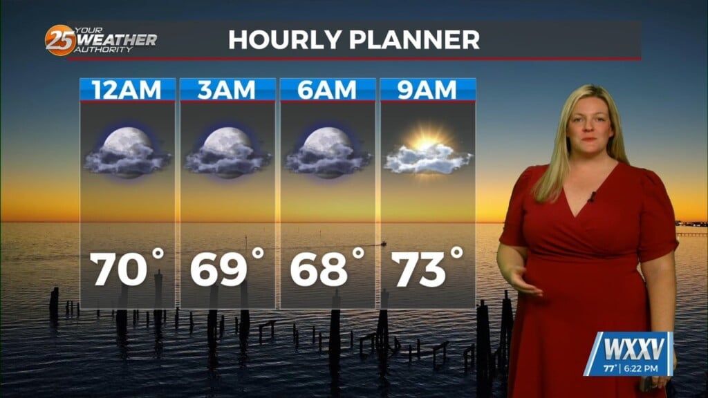
We continue to see a severe weather/heavy rain threat Wednesday afternoon and Wednesday night with much cooler weather to follow. An approaching cold front Wednesday will bring the threat for SEVERE WEATHER. The main threats would be straight line wind damage with
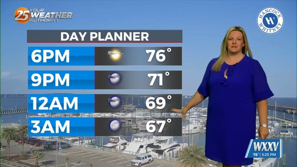
brief spin up tornadoes and heavy rain, with widespread 1-2 inch totals expected, which could fall in a pretty short period of time. Best estimate on arrival time of the convective line would be around 6-9 pm, clearing our land areas to the east by 10 pm. Continue to monitor later forecasts in case the timing shifts one way or the other. The line of storms will be about 3-6 hours ahead of the actual frontal passage, with the front not clearing our area until after midnight Wednesday night. Any heavy precipitation should cut off at that time, and some clearing is likely prior to sunrise Thursday. Another concern behind the system once the cold air arrives will be the potential need for a Wind Advisory on Thursday.
In the start of the extended term we will see the upper level low-pressure system continue to push eastward out of the region. With this will come continued breezy conditions heading into the Halloween weekend.


