10/10 – The Chief’s “Very WET Conditions Ahead” Tuesday Morning Forecast
It’s another October morning with crisp temperatures in the mid to upper 50s across much of the area. Drier air and surface high pressure remains favorable for strong diurnal influences which have resulted in temps dipping a little lower than forecast, but should rebound comfortably into the mid-80s by afternoon. High pressure moving east will allow for increased moisture advection and large scale atmospheric lift by tonight.
Eyes again shift upstream where a surface low will be moving northward across the western Gulf of Mexico from the start of the long term period. The surface low will eventually merge with a surface stationary frontal boundary along the Gulf Coast. As the surface low interacts with the higher pressure downstream of our area, low level pressure gradient will tighten allowing for an increase in winds, especially over the local waters where Gale conditions are becoming increasingly likely.
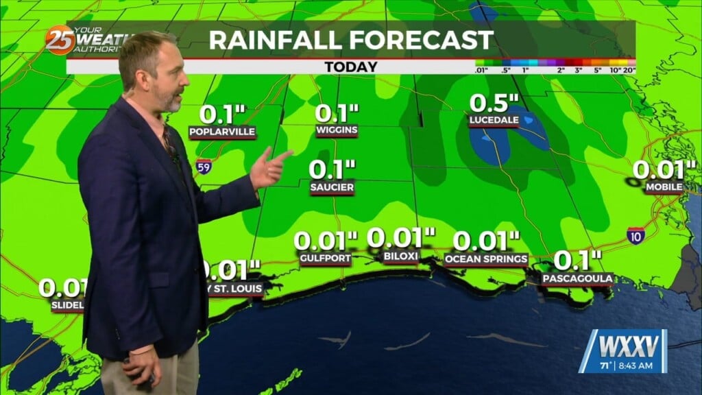
As the deeper tropical moisture moves over the region, it will interact with the surface frontal boundary and produce widespread showers across the region due to upglide flow. On average 1-2 inches of rain will be common with locally higher amounts possible. This feature will quickly move downstream Wednesday night and into Thursday with the fast moving SW’terly flow.
Going into the upcoming weekend expect another cold front to move through the region. Depending on how much low level moisture resides ahead of the front, there could be a quick shot of shower activity ahead of the front, but models are not very consistent with these chances.


