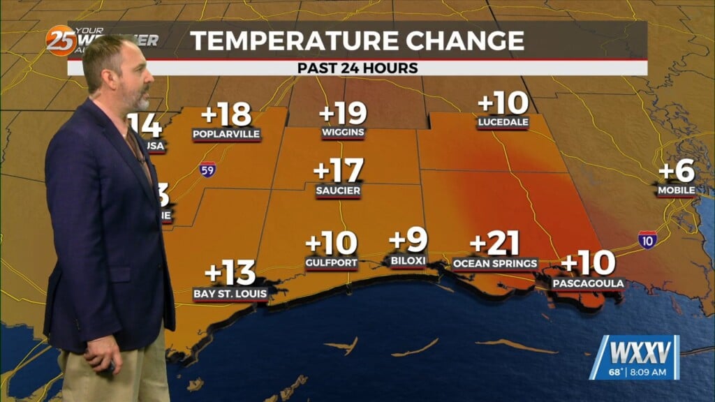
1/9 – The Chief’s “Storm Report Recap” Tuesday Afternoon Forecast
The WIND ADVISORY will continue through this evening before the flow begins to weaken. Breezy conditions will continue overnight with winds around 15 mph…which means the wind chill will be a factor.
High pressure will quickly shift eastward across the Gulf on Wednesday, with southerly flow returning by afternoon. Temperature guidance fairly close tonight and Wednesday, but edged toward the warmer guidance Wednesday.
The highly progressive pattern continues with another system to impact the area Thursday night into Friday morning. While heavy rain does’t appear to be a significant threat with that system, there is some threat of severe weather. The main question is whether moisture return will be sufficient inland to produce deep convection. There`s at least enough of a threat over about a 6-9 hour window for convection to be either surface or near surface based. SPC has outlooked the entire area for Marginal to Slight Risk of severe weather Thursday night. Precipitation will be out of the area around midday Friday. Wind advisories will probably be necessary again Thursday night and Friday.


