1/4 -Rob Knight’s “1st Week of The new Year” Forecast
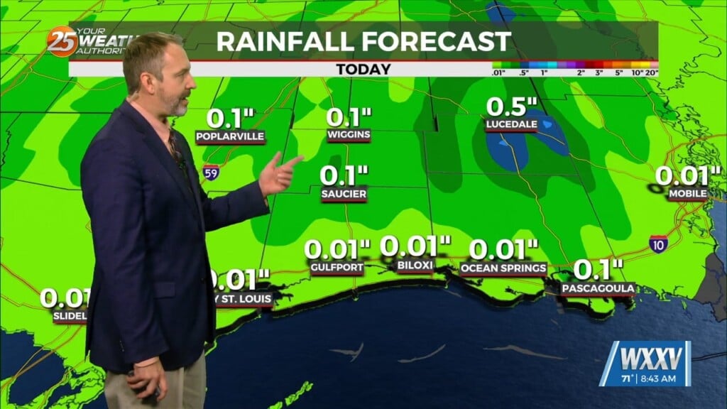
High pressure will remain in place providing dry weather through Wednesday afternoon. Weak upper level disturbance over southern Missouri will slide eastward through the Tennessee valley over the next 24 hours. An upper high-pressure will progress eastward into the Mississippi river valley over the next 24 to 36 hours providing a warming trend as temperatures will climb above normal today through Wednesday. Another disturbance will dig into the Great Plains by Tuesday night/Wednesday time frame. This will bring a chance of showers and isolated t-storms by Wednesday night. Southerly surface winds ahead of the system will act to enhance the warm air advection and moisture advection into the region. The system will provide some dynamic forcing, but based on the models, it will be fairly weak overall. Wednesday and Thursday, some higher rain chances will be possible with the chance for a thunderstorm or two and some gusty winds.
Friday through Sunday, a brief, weak upper level high-pressure is expected to build back over the area, which will help to bring temporarily drier conditions to the region. For Friday and Saturday in particular, models are showing more stable air in the region due in part to the enhancement of cold air advection from northerly surface winds. Some southerly surface winds will be back in place late Saturday into Sunday, which will help to reintroduce the moisture into the region. The next disturbance is expected to move through late Sunday into Monday, which will bring the next best chances of rainfall in the forecast.


Leave a Reply