1/24 – The Chief’s “Potential For HEAVY RAIN/Severity” Wednesday Morning Forecast
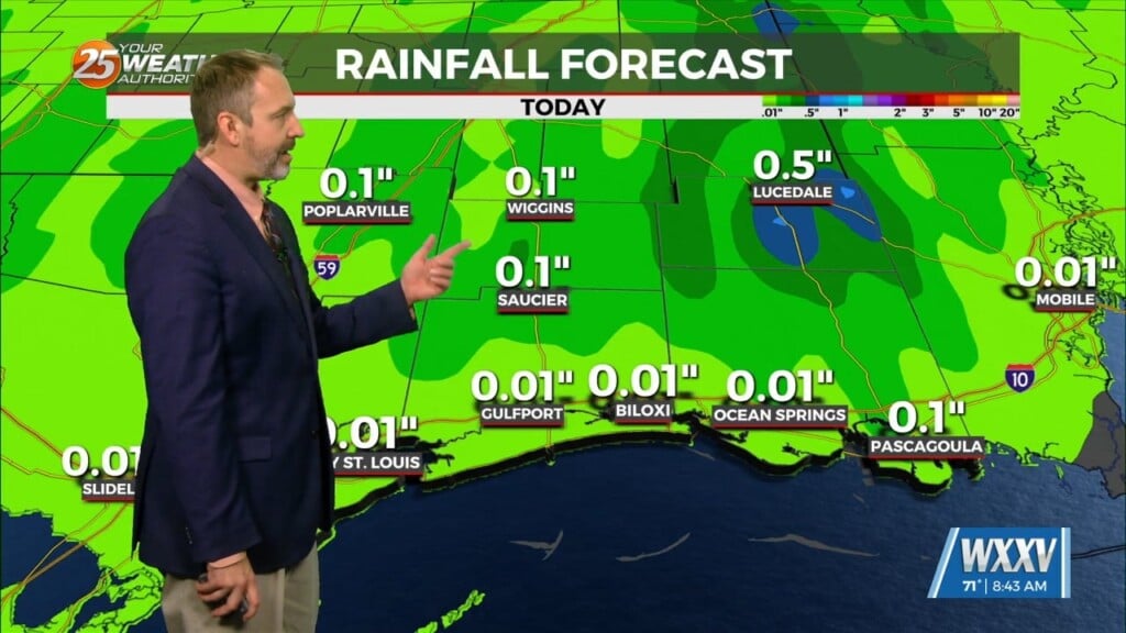
Expect a very active 24 to 48 hours in store with multiple impacts some of could bring severity to the area. Widespread moderate to heavy rain is the greatest concern and a Flood Watch has been extended to include all of the area.
It’s beginning to look more and more likely that a band and of heavy rain will develop and stall over the region with the possibility of some sites seeing upwards of 9″ of rain in less than 24 hours. Where exactly that occurs is unknown and will determine how significant the impacts are. If the band stalls over generally rural parts of SELA and southern MS the biggest issue could be some flash flooding and then river flooding taking over.
The second concern is the risk for severe weather today although the risk for severe weather pales in comparison to the threat of flash flooding it is still there with the main concern being straight-line winds and a few tornadoes possible. Sea fog remains a possible problem. This will mainly impact a more specific group (mainly mariners) but if sea fog can develop it could move inland especially over coastal MS heavily impacting locations like Gulfport and Biloxi.
Last but depending on how much rain falls and exactly which basin it falls in. This will become clearer later today and tonight as we see where and how much rain has fallen. This wet pattern will continue into the weekend with frontal passage Saturday night into Sunday morning. Clearing will begin to occur with a cool-down Sunday into next week.


