04/24 Ryan’s “Clouds Return” Friday Morning Forecast
We woke up to our warmest and most humid morning as the clouds return and rain chances start creeping up.
We started off the week dry and chilly, but this morning was warm, humid, and grey as the clouds return to South MS again. We still saw a bit of sun this morning, but skies will continue to darken as we head through the day and into the weekend, eventually bringing a chance of showers and thunderstorms. Today those chances will be around 10%, just spotty showers, but will get a little more consistent by tomorrow. The severe risk right now remains at level 1 (marginal) across South MS, but a level 2 (slight) risk is just to the northwest, so it isn’t impossible a strong storm or two manage to hold on long enough to move into our area. We’ll keep you updated on how this develops later tonight.
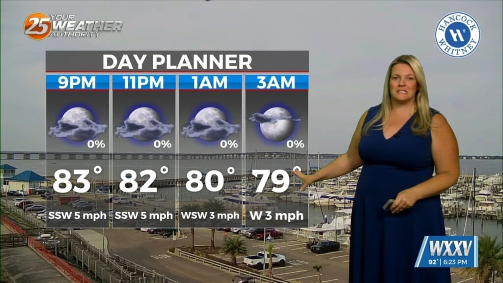
For today, shower chances remain low as dewpoints climb into the upper 60s/low 70s with a high near 79° and mostly cloudy skies. Winds remain light at 10-15 mph and out of the south-southeast.