06/17 Ryan's "Summer Soon" Wednesday Night Forecast
It's feeling pretty good right now, but even higher humidity is on the way as summer begins this weekend.
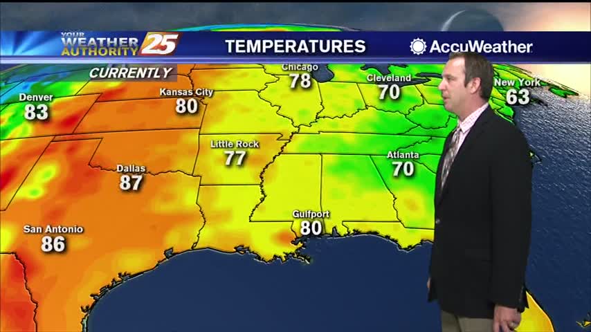
It's feeling pretty good right now, but even higher humidity is on the way as summer begins this weekend.
Not much has changed since last weekend, and won't be changing for the rest of the week.
Lower humidity in the region will continue through Thursday before subtle changes begin to occur. Thursday through Saturday will basically be a continuation of the first half of the week, characterized by above normal daytime temps, below normal lows, and…
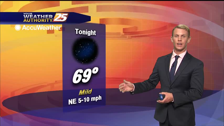
High temps on Wednesday will be in the mid and upper 80s with a few spots reaching 90. Lows tonight will be in the low to mid 60s inland to low 70s along the coast. Hot days with isolated showers…
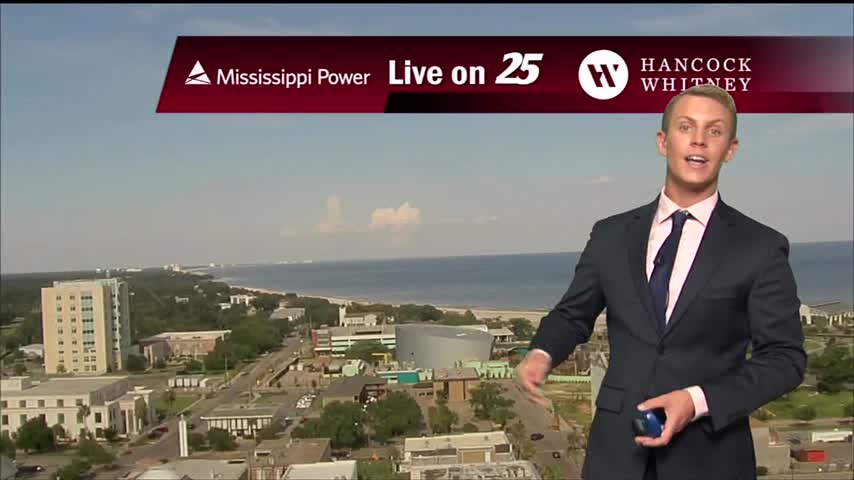
The upper level low over the Carolinas will continue to slowly lift northward through Wednesday. This feature will continue to usher dry mid-level air into the northern Gulf coast region. Despite the abundant dry air, there will be enough moisture…
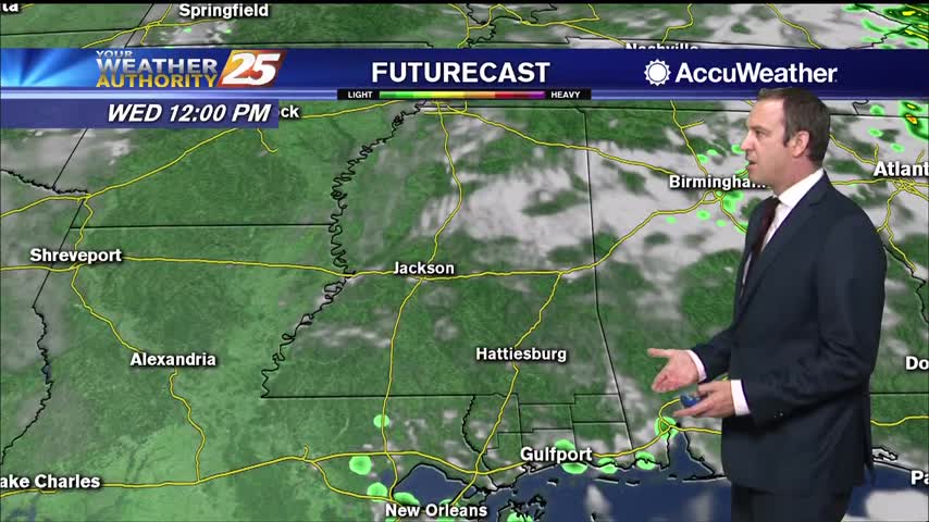
It's felt like summer for a while now, but it doesn't officially begin until this weekend...
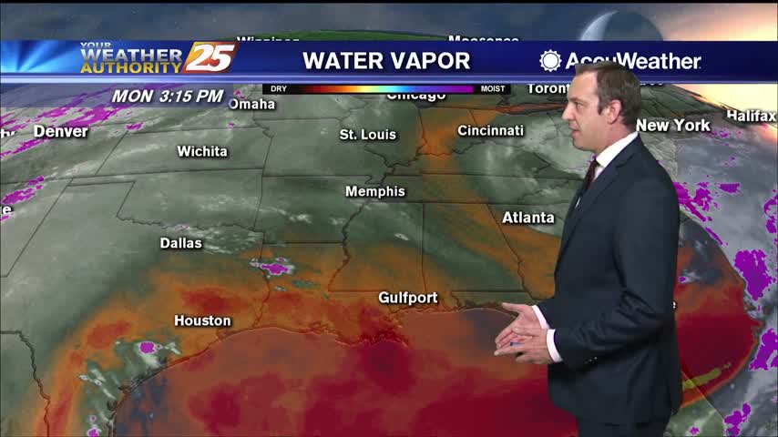
We've begun the final week of Spring, so I guess it's appropriate it won't be very "spring-like."
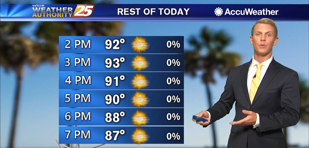
A weak stationary front will move in from the northeast and begin to dissipate. Expect sunny skies with hot temperatures to begin the final week of spring. The extended portion of the forecast period from Wednesday through the rest of…
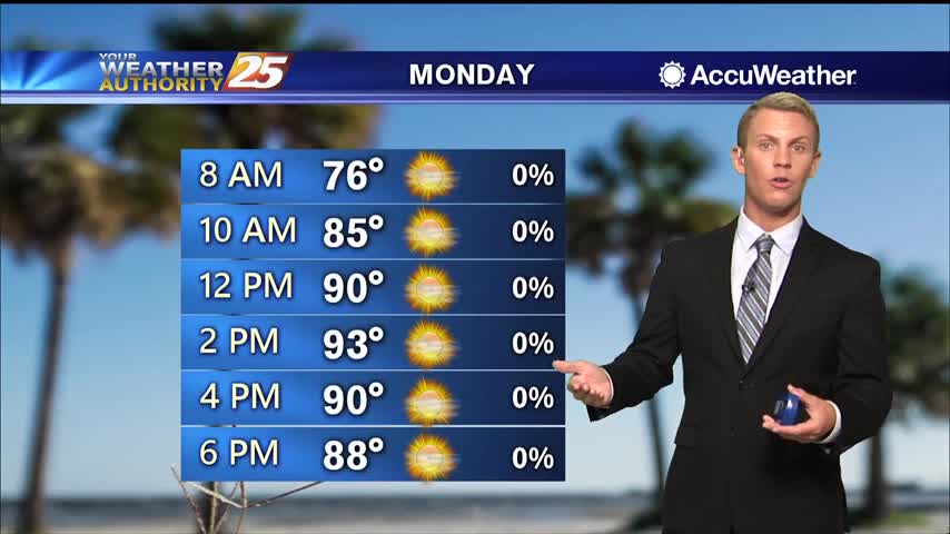
Locally, primarily easterly low level flow with drier air attempting to work in from the northeast. Isolated thunderstorms have developed, primarily on lake/sea breeze boundaries. Outside of the spotty storms, temperatures generally around 90 degrees with dew points upper 60s…
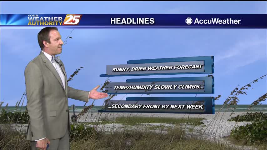
More sunny and drier weather is on the way, with very little cloud cover in the days ahead.
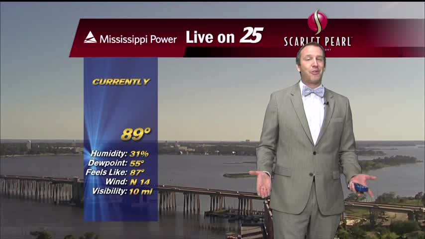
Beautiful, cloud-free skies have moved in, and will largely remain consistent for the weekend and most of next week.
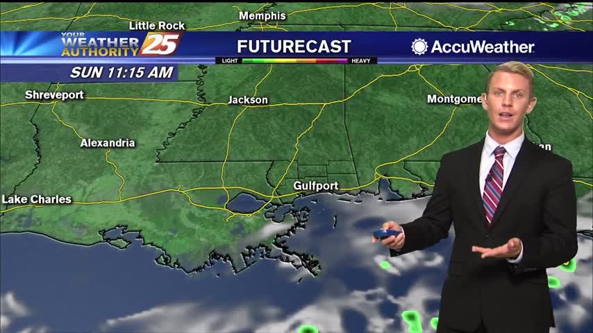
The dry and hot pattern will persist into the short term with only a slight chance of showers and storms. There appears to be some lingering moisture. With the movement of the afternoon sea breeze an isolated shower or thunderstorm…
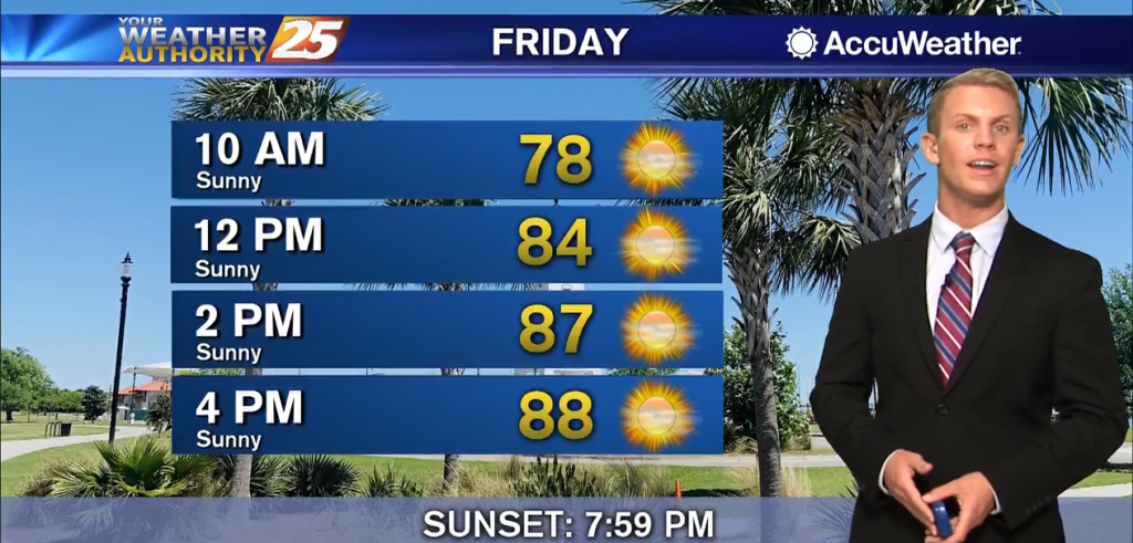
The dry and hot pattern will persist into the short term with only a slight chance of showers and storms. There appears to be some lingering moisture. With the movement of the afternoon sea breeze an isolated shower or thunderstorm…
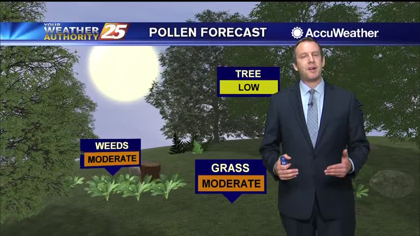
Much more pleasant weather is moving in and won't be in any hurry to leave through the weekend.
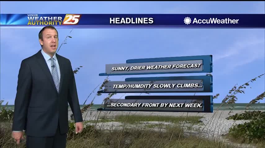
Finally a dry day out there, no chance of rain and plenty of sunshine for the rest of the week!
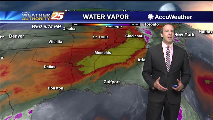
Started off the day with rain, but drier air is moving in rapidly over the next few days.
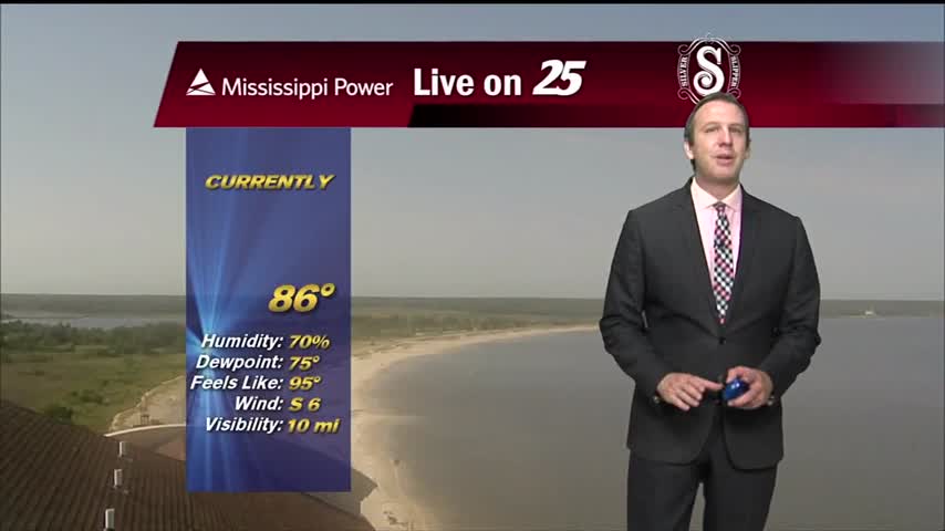
One last blast of rain this morning, but clearing skies and cooling air is on the way.
After several days of cloudy skies, heavy rain, and high humidity, our weather pattern is finally about to change. A rare June cold front is moving across the Gulf Coast this afternoon. While it is technically called a "cold front,"…
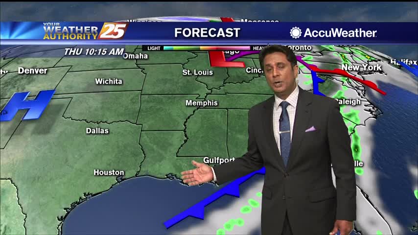
Deep upper level trough will dig through the upper Midwest today, dragging a cold front through the Mississippi Gulf Coast. Expect scattered showers and thunderstorms this morning with the activity beginning to wind down this afternoon. Due to the very…
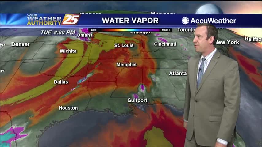
Drier air is finally on the way, but until it really takes hold it'll still be raining a little longer.
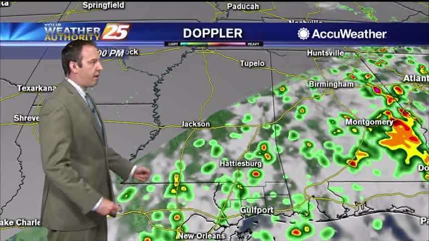
Scattered showers continue in South MS, but these wet, hot, and muggy days are almost over.

Residual moisture is holding in the area this morning and this will be the case until a front passes Wed. Strong or severe thunderstorms are not expected today but that is not to say that one couldn’t be a little…
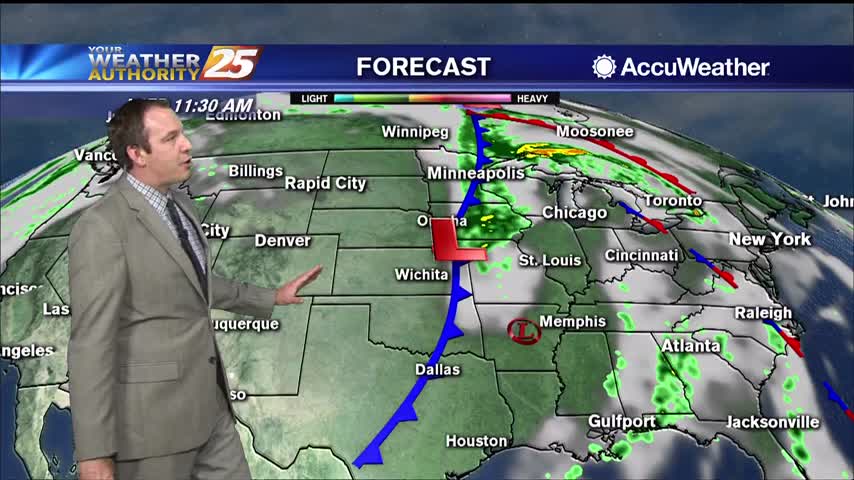
Cristobal brought over a foot of rain since yesterday, but is now moving on. The rain lingers a bit longer though....
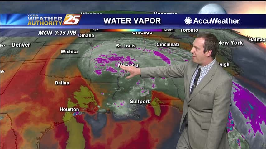
Cristobal has moved inland, but rain will continue for the next few days....