8/26 - Rob's BEAUTIFUL Wednesday Forecast
A BEAUTIFUL start with temperatures in the upper-50s....
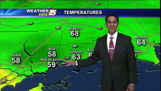
A BEAUTIFUL start with temperatures in the upper-50s....
Weather forecast for the week after 08/25/15.
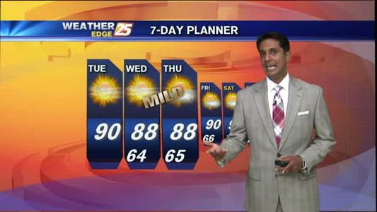
A cold front overhead moving south, with pleasant conditions...

Weather forecast for the week after 08/24/15/
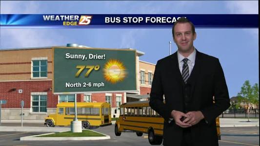
A SUNNY start, with warm temperatures...
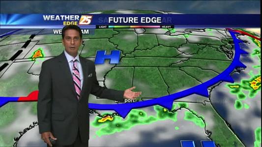
Weather forecast for the week after 08/21/15.
Early morning showers hugging the coastline...
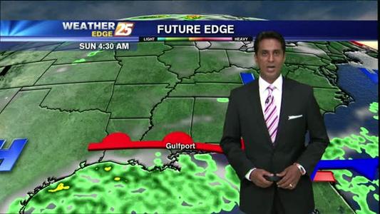
Weather forecast for the week after 08/20/15.
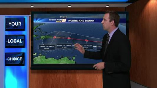
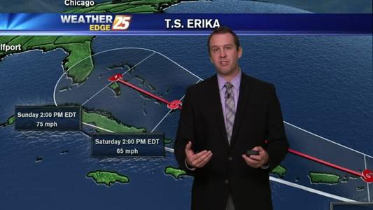
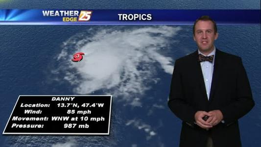
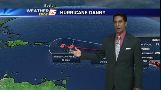
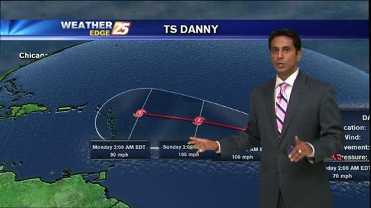
All eyes are on Hurricane Danny, the fourth named hurricane of the season.

Weather forecast for the week after 08/19/15.
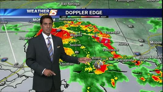
A HUMID start with a complex of thunderstorms to the SW moving NE...
Weather forecast for the week after 08/18/15.
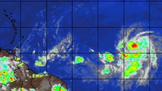
The National Hurricane Center’s eyes are on a new system.
Weather forecast for the week after 081715.
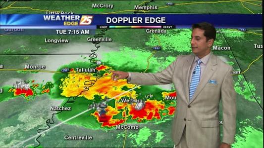
Emergency officials say a tornado has touched down near Collins, Mississippi, but there were no immediate reports of injuries or damage to buildings.
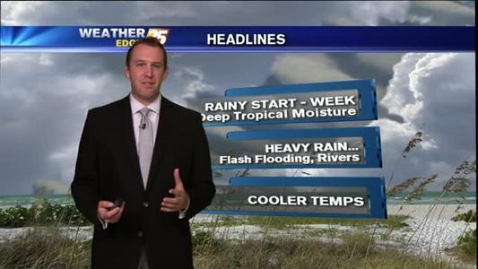
A RAINY start with embedded thunderstorms...
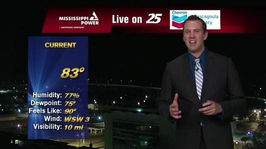
Weather forecast for the day and week after 08/14/15.
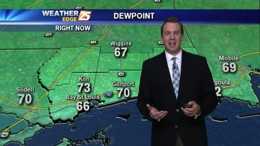
A sunny and mild start with lower humidity...
Weather forecast for the week after 08/13/15.
A mild start with VERY LOW humidity...
Weather forecast for the week after 08/12/15.
A sunny start with t-storms over the sound/northern Gulf...
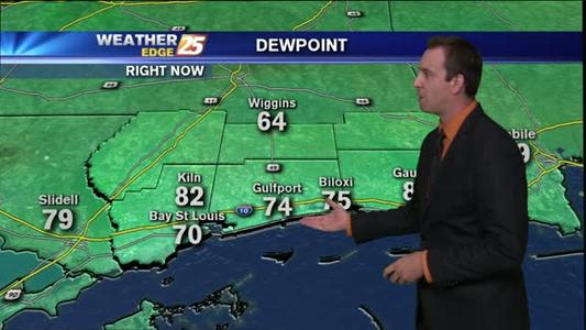
Weather forecast for the week of 08/11/15.
A sunny start with t-storms moving SE from Jackson...