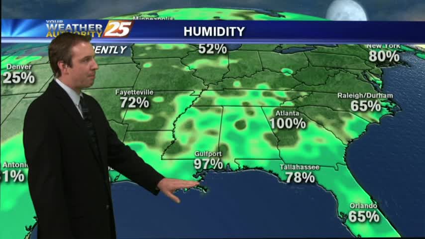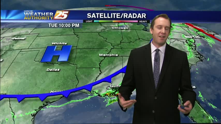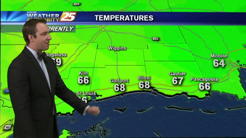
03/15 Ryan's "Ides of March" Wednesday Afternoon Forecast
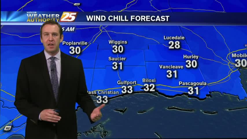
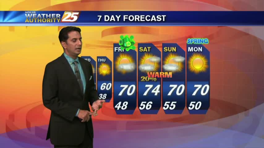
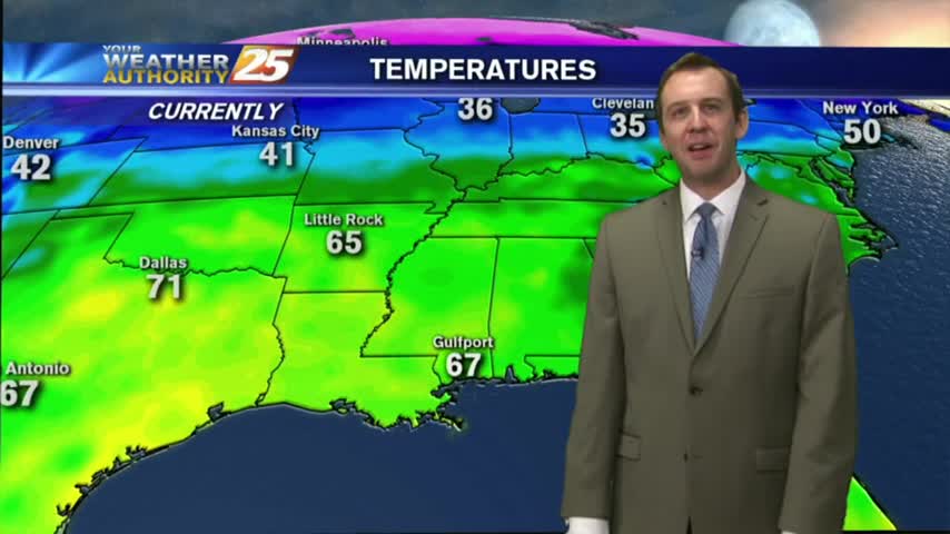
I promised a beautiful day last night and the weather delivered! Expect one last night in the 30s for a while, and a slightly warmer afternoon tomorrow. For more than that you'll have to watch the forecast.