Hard Freeze Warning though Wednesday morning
A Hard Freeze Warning is in effect until 9 a.m. Wednesday. Freezing temperatures will be possible for a period as long as 14 to 16 hours.
A Hard Freeze Warning is in effect until 9 a.m. Wednesday. Freezing temperatures will be possible for a period as long as 14 to 16 hours.
A Wind Chill Advisory is in effect until 9 a.m. Tuesday with wind chill temperatures expected to be in the lower teens for an 8 to 12 hour period. A Hard Freeze Warning is in effect until Tuesday a.m. with freezing temperatures expected for a 15 to 20 hour period.

Overnight lows drop into the middle to upper 20s, but north winds at 15 to 20 mph will put wind chill temperatures in the middle to upper teens.

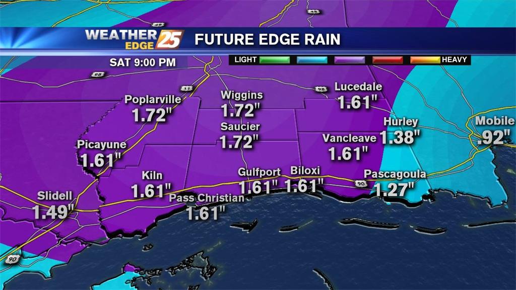
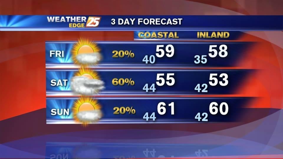
Mostly cloudy overnight with rain likely and lows in the upper 30s to lower 40s.

Cloudy skies overnight, with lows in the upper 30s to lower 40s, with a slight chance for isolated rain.
Mostly cloudy overnight, with rain returning late.
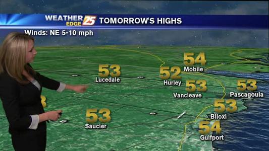
Mostly cloudy skies overnight, with a north wind at 5 to 10 mph and lows in the middle 30s inland and upper 30s to lower 40s along the coast.
Expect clear skies overnight, with northeast winds around 5 to 10 mph and lows dipping into the middle to upper 20s.

Expect clear skies overnight, with lows falling into the lower to middle 30s.

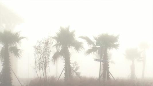
Cloudy skies overnight, with areas of patchy fog and lows dropping into the upper 50s to lower 60s.
Expect clear skies overnight, with areas of patchy fog and lows in the upper 30s to middle 40s.

Clear skies and calm winds will allow overnight lows to fall into the middle 30s inland and lower 40s along the coast.

Clear skies overnight, with north winds around 10 mph and lows dropping into the mid 30s along the coast, and lower 30s inland. Wind chills could drop into the upper 20s for a few spots.
Cloudy skies overnight, with lows dropping into the lower to middle 50s, and scattered rain.

Cloudy overnight, with scattered showers and storms, a north wind around 15 mph and low dropping into the upper 40s to lower 50s.

A dense fog advisory is in effect until Friday morning for Harrison, Hancock and Jackson counties; visibility may drop below one quarter mile.
Cloudy skies overnight, with isolated rain and lows in the middle 60s. Dense fog will develop over the Gulf, impacting visibility along the coast.
A dense fog advisory in effect until 10 a.m. Wednesday for Stone and George counties. Expect cloudy skies, with lows in the low to middle 60s.
Cloudy skies are expected overnight, with southwest winds at 5 to 10 mph, and lows falling into the middle to upper 50s.
Mostly clear overnight, with lows in the upper 20s to lower 30s inland, and middle to upper 30s along the coast.
Clear skies overnight, with lows dropping into the middle to upper 20s inland and upper 20s to lower 30s along the coast.
Overnight lows drop into the middle 20s, but it will feel like the mid to upper teens.
A hard freeze warning in effect until Thursday morning for Jackson, Harrison, Hancock, and Pearl River counties, along with a hard freeze watch for Stone and George counties until Thursday morning.
A coastal flood advisory is in effect until 5 a.m. Tuesday for Harrison, Hancock, and Jackson counties. Expect tides to be as much as two to three feet above normal.