4/12 - Rob Knight's "Hump Day" Forecast
Very light sprinkles associated with a dissipating cold front is moving though the interior counties...along with DENSE FOG along the coast.
Very light sprinkles associated with a dissipating cold front is moving though the interior counties...along with DENSE FOG along the coast.
As a very weak cold front moves over the sound, this morning bring areas of patchy fog and light rain...
After a WARM/HUMID weekend with DENSE morning FOG...fog is out of the area but rain is now moving in from the south...
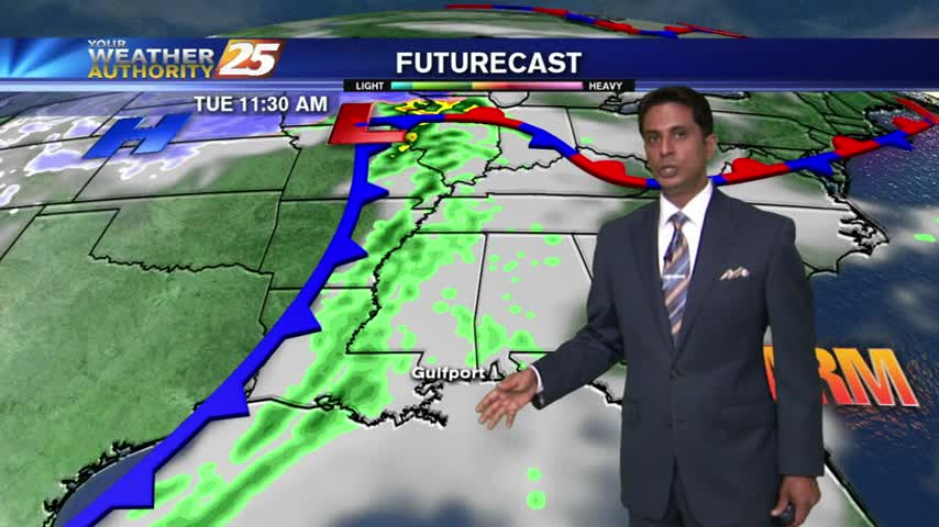
COLD air moving into the area coupled with moisture flow from the west, has light rain spreading through the region...
Isolated showers are hugging the outer-coastal waters, as an area of low-pressure developed in the NW'tern Gulf last night,
Isolated showers moving across the area with VERY HUMID conditions...
It's a WARM/HUMID morning with pockets of DENSE FOG...
Another mild and humid start with the cold front overhead moving east...
As WARM & HUMID conditions from the weekend continues, DENSE FOG has developed in the area...