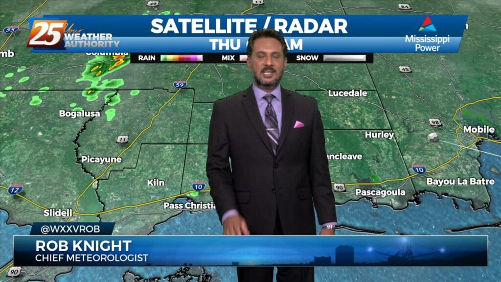
4/6 - The Chief's "Approaching Cold Front" Thursday Morning Forecast
Starting off with early this morning, recent radar trends illustrate some isolated showers developing generally along the I-10 in coastal MS. The main story for today…
Starting off with early this morning, recent radar trends illustrate some isolated showers developing generally along the I-10 in coastal MS. The main story for today…
A Weak frontal boundary draped along the lower Tennessee valley will continue to slide east and out of the region, high-pressure will slowly build eastward through Friday as this weakness moves off the east coast over the next 48 hours.…
Yesterday was more active as showers and thunderstorms moved about, but now things are mostly clear...mostly. A few clouds will linger through the night, and we'll see more light fog, but it is starting to cool and dry. That means…
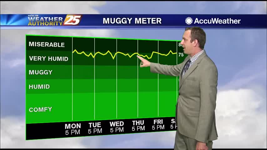
The high humidity has returned after a little bit of a break last week, so expect to be getting right back to some uncomfortably hot and humid weather.

A very warn start to the day with hot temperatures this weekend as the heat index will be between 103-115 degrees...