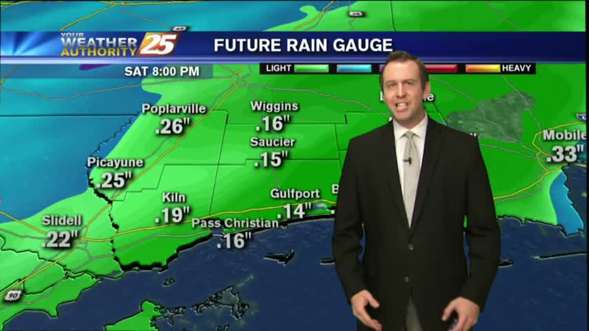
10/23 Ryan's "Wet" Friday Evening Forecast
Been dry, warm, and humid all week long, but now wet weather moves in before things clear for the start of next week.
Been dry, warm, and humid all week long, but now wet weather moves in before things clear for the start of next week.
Today was much closer to average in terms of afternoon thunderstorm activity, but the next few days are going to be much wetter.
Expect the afternoon's showers to clear before the overnight hours, a trend we'll see continued all week long....
We saw another day of limited afternoon shower activity, but we'll see wetter days ahead....

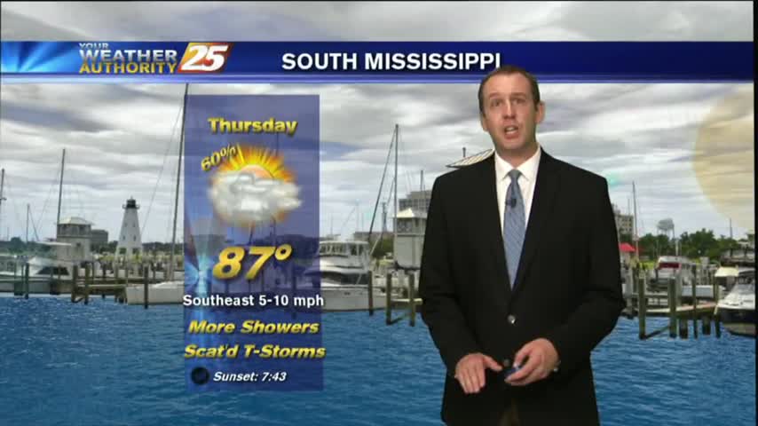
There weren't many showers today and I don't expect many tomorrow, but we will see a mid week spike in rain chances....
It was mostly dry across the coast today as high pressure keeps activity limited, but we'll see more showers soon enough....
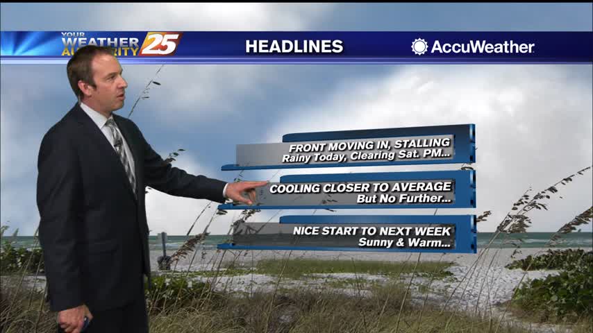
The front we've been expecting all week long is finally here, but the severe weather threat has diminished as the day wore on. Be sure to watch the full forecast for details.
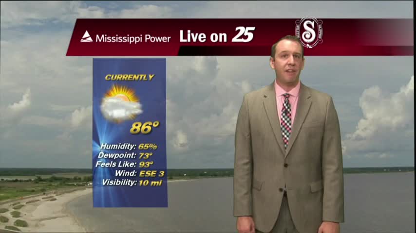
Didn't see much rain this morning/afternoon, but early evening thunderstorms helped light up the night sky. This will dissipate quickly, and more rain expected soon, but you'll have to watch the forecast for more.
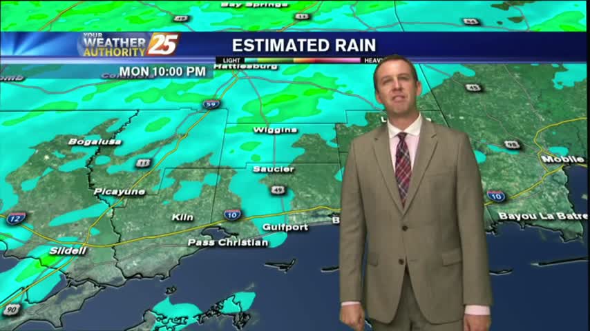
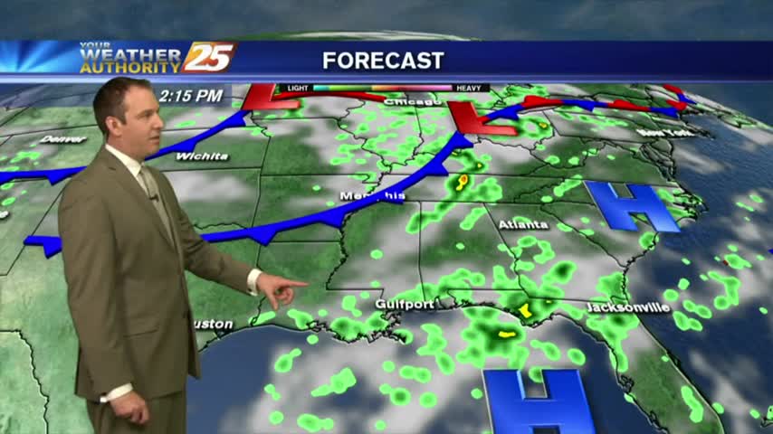
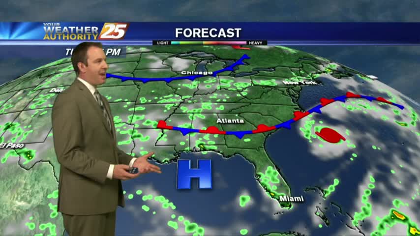
Not much rain earlier, but the rain started to move in late this evening and will continue each afternoon for the next few days. Watch the full forecast for details.
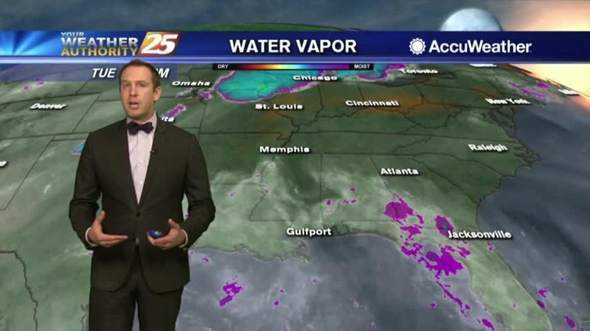
Our current "mostly sunny & hot days become cloudy & rainy evenings" weather pattern will continue through the week, and will receive a boost of tropical moisture from the remnants of TD 4 over the weekend. Details inside.