10/13 - Rob's "Beautiful" Tuesday Afternoon Forecast
Post frontal passage will continue to bring a less humid air mass into south Mississippi...
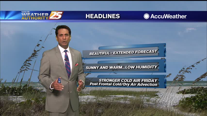
Post frontal passage will continue to bring a less humid air mass into south Mississippi...
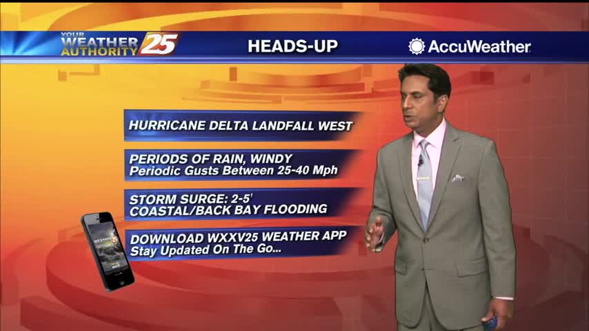
A nice start this morning as we continue to track HURRICANE DELTA...
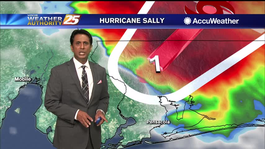
AS HURRICANE SALLY continues to move ashore east of our area, south Mississippi will find improving conditions...
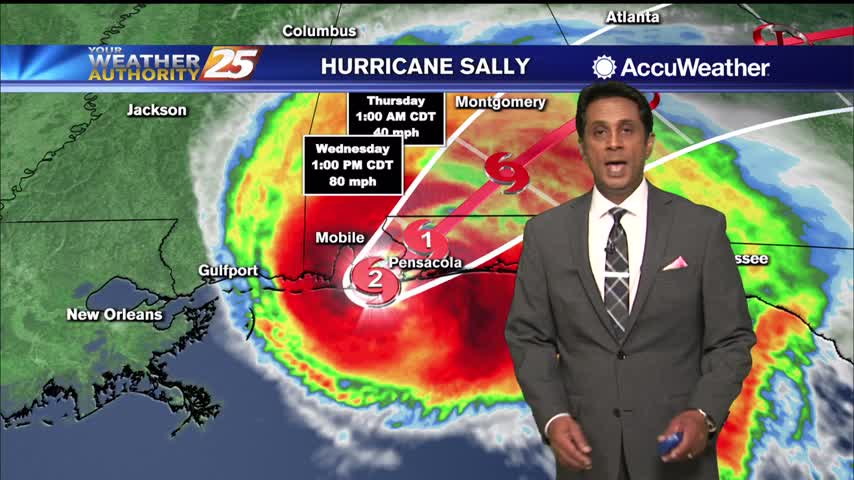
Strong winds and rainfall continue to affect the local area as HURRICANE SALLY is making landfall along the Pensacola area...
Much warmer temperatures this afternoon in advance of an approaching warm front later this evening...
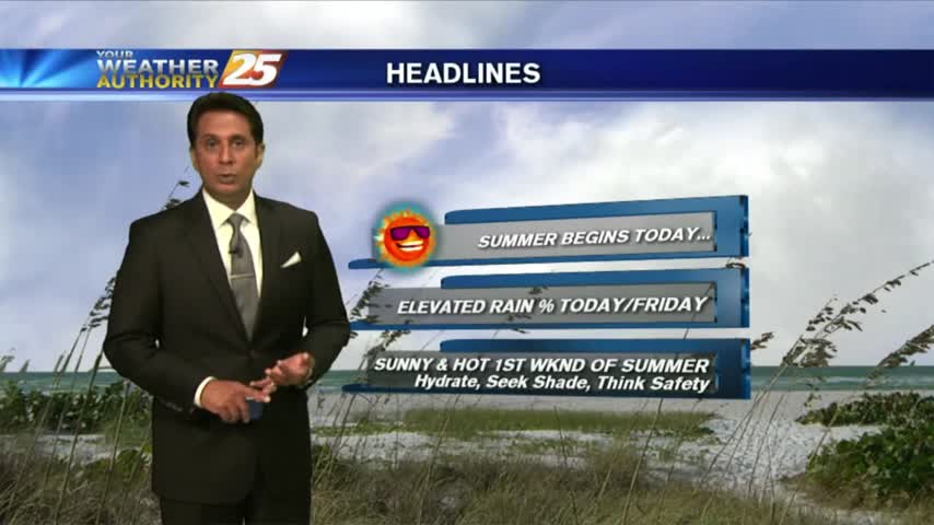
A VERY WARM start to the new season as several locations are in the low 80s this morning...
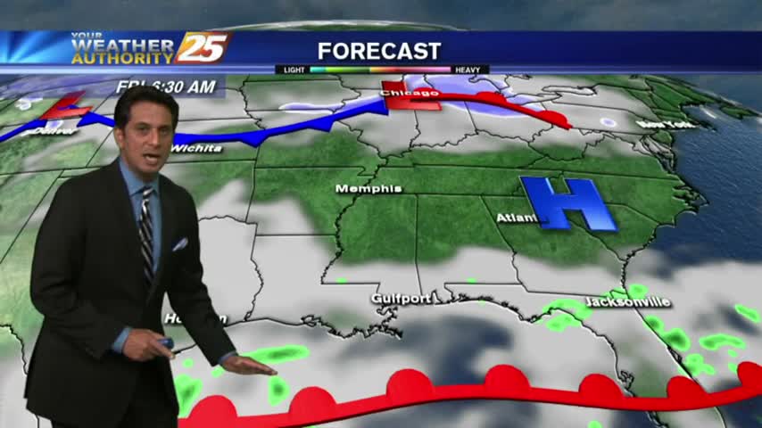
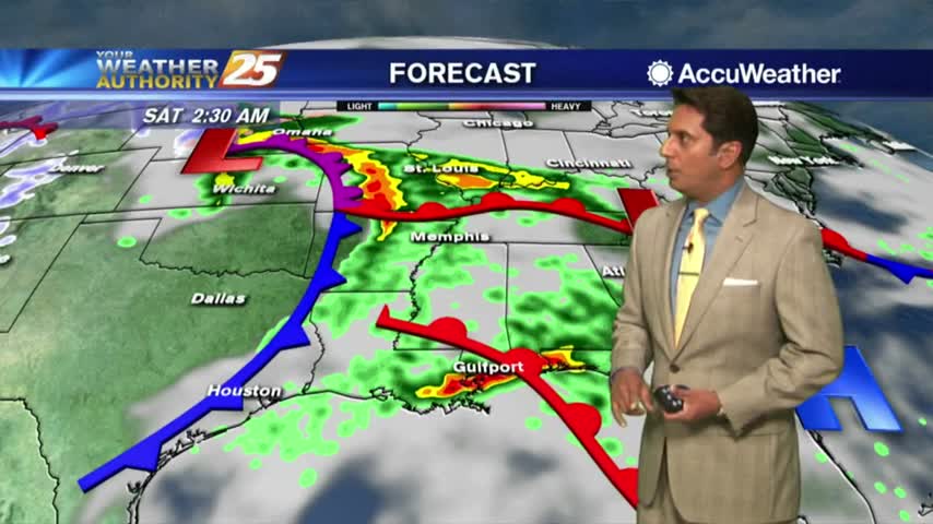
A cloudy and warmer start to the day before the potential of HEAVY RAIN this weekend...
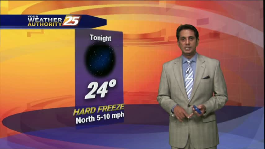
After a cold and cloudy start to the day, clouds have cleared with SUNNY skies this afternoon then FRIGID conditions overnight...
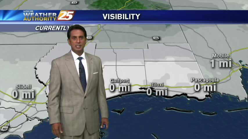
Fog was BAD yesterday morning...downright HORRIFIC this morning. PLEASE be careful with your commute...
After a COLD start to the day, temps continue to be CHILLY as a good bit of upper-level clouds are keeping the sunshine away...