9/27 - Rob's Tuesday Morning Forecast
As the cold front begins to slow down and stall in central Mississippi, areas of PATCHY FOG has developed along the southern 6...
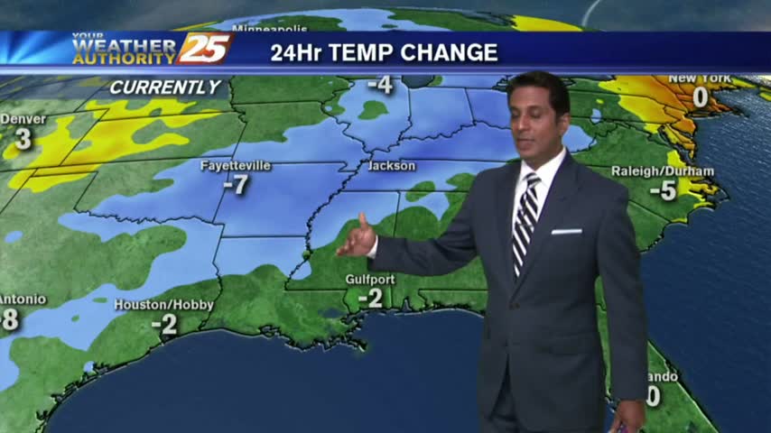
As the cold front begins to slow down and stall in central Mississippi, areas of PATCHY FOG has developed along the southern 6...
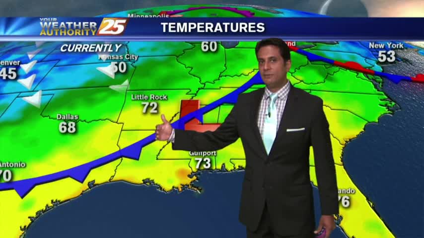
As a cold front is moving into the region, it's a warm & humid start to the workweek...
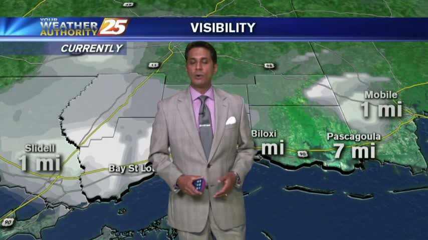
PLEASE BE CAREFUL - Areas of patchy DENSE FOG has developed for your morning commute...
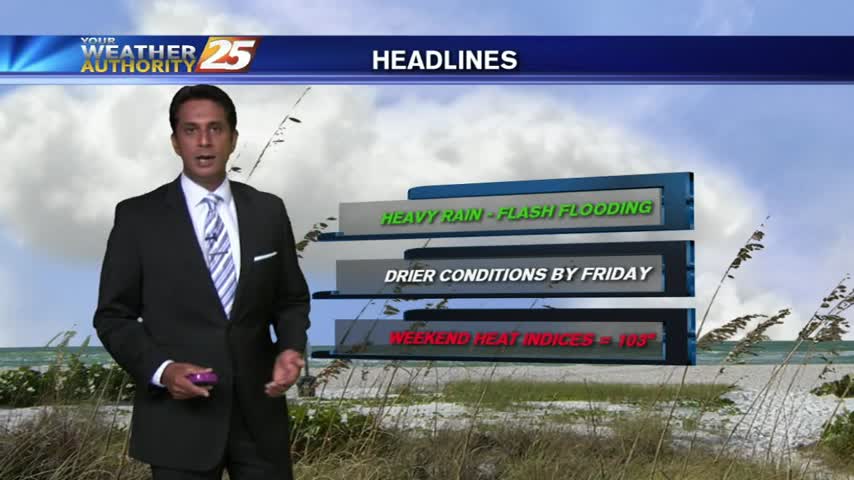
With an elevated cold front overhead slowly moving SW, the wet stuff is in the forecast for another day...
As TS HERMINE moves NE into Georgia, a drier wind and hotter temps will affect south Mississippi...
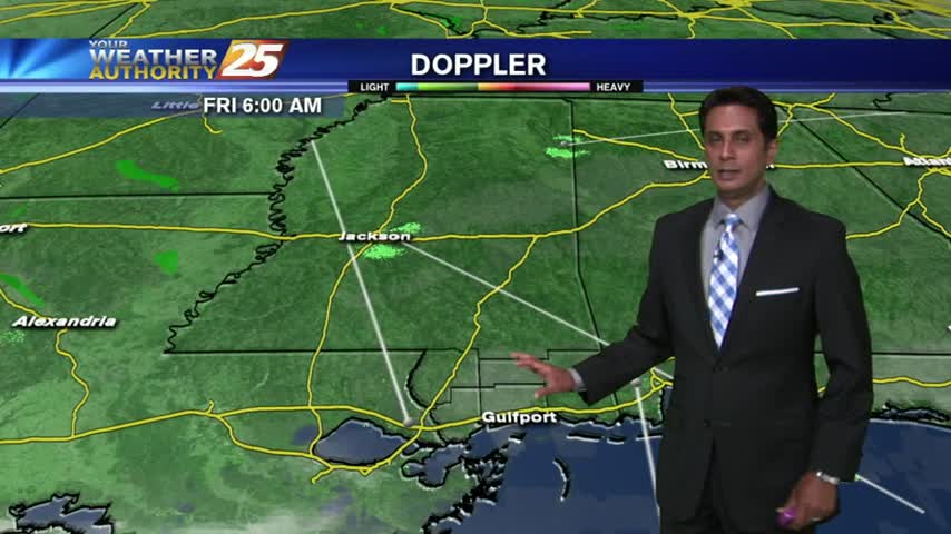
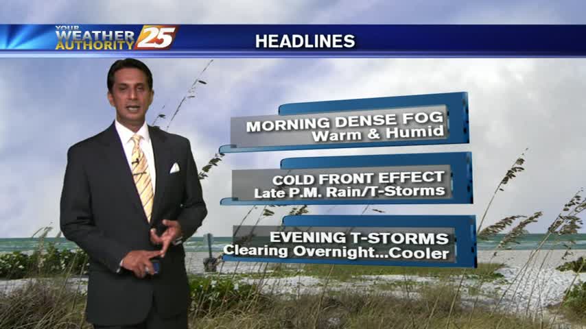
To close-out the workweek, we have mostly cloudy skies this morning along with VERY LIGHT rain and areas of patchy fog...
The tropical air mass continues...this morning the activity in over the sound, moving north towards the coastline...
As a cold front is moving through the area, warm & humid conditions continue...
As a weak cold front moves overhead, areas of light fog has developed along the coastal counties...
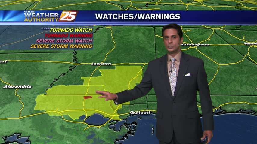
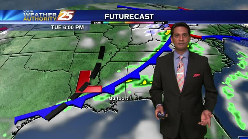
T-Storms with heavy rain north of the viewing is moving south with a TORNADO WATCH in effect...
A cold front in central Mississippi has brought warm & humid conditions along with areas of DENSE FOG...
DENSE FOG this morning may cause travel delays...
A mild/warm start with partly cloudy skies as a cold front moves into northern Mississippi...
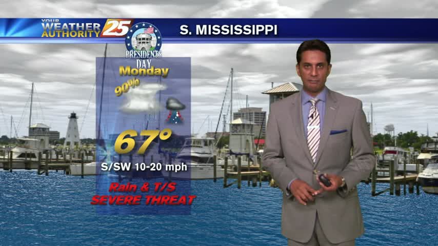
Light rain has been moving into the area since prior to sunrise. This activity will increase through the day with the potential for SEVERE STORMS this afternoon...
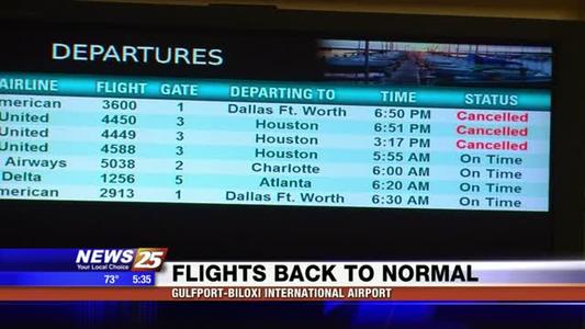
Things are back to normal at the Gulfport-Biloxi International Airport after Monday's severe weather caused some backups.
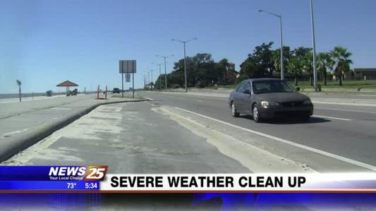
The Mississippi Department of Transportation (M.D.O.T.) reports the Coast was fortunate compared to other parts of the state after Monday night's severe weather.

The Mississippi Emergency Management Agency (M.E.M.A.) is asking residents to be aware of the threat of a severe storms forecast to move through the state late Thursday evening into early Friday morning.