4/5 - Rob's "Frontal Passage" Improving Afternoon Forecast
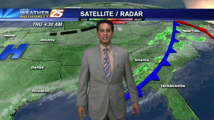
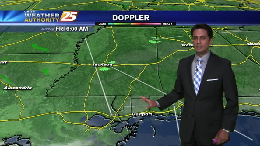
After early morning showers/t-storms with a slight threat for SEVERE...the brunt of the activity has moved to our east.
After early morning showers/t-storms with a slight threat for SEVERE...the brunt of the activity has moved to our east.
Residual moisture from yesterday has areas of PATCHY DENSE FOG, then sunny and warm conditions through today...
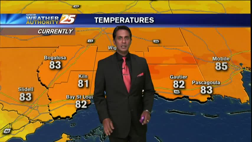
Fat Tuesday is starting off with VERY WARM conditions for this time of the year, along with areas of DENSE FOG...

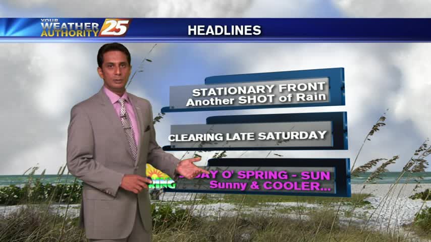
After a chilly start to the day, high-pressure moving closer to the area will begin the warming trend heading into the weekend...
Windy conditions tapered-off yesterday evening with light winds and clear skies overnight. After a CHILLY start, today will bring changes...
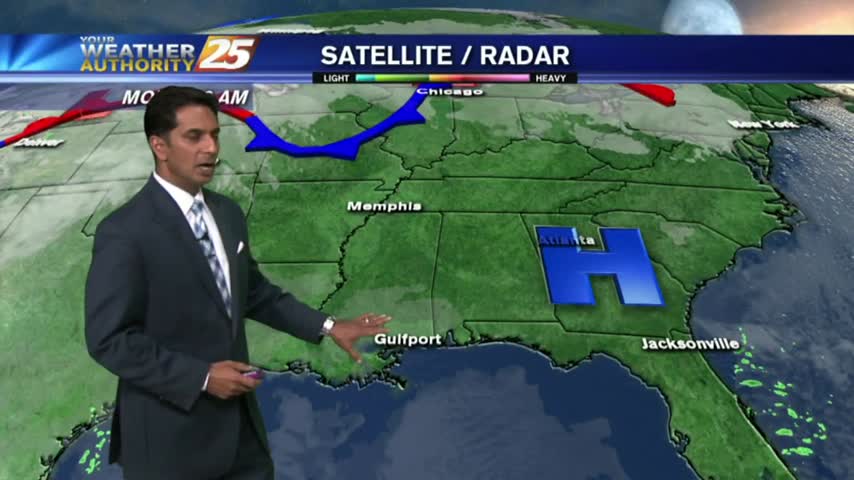
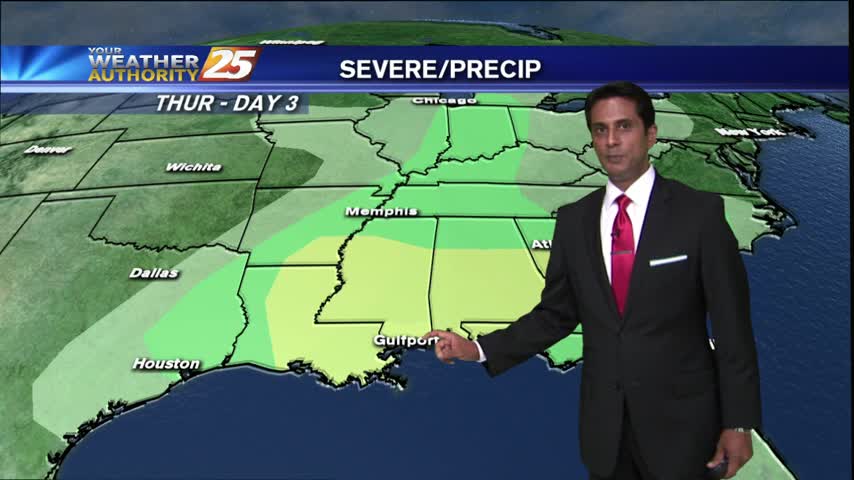
In the wake of cold frontal passage last night, rain is out of the area but the clouds will continue to linger...
After a FRIGID weekend, it's a VERY COLD start on this Monday morning...with major changes ahead.
Sunny skies and warmer temps provided by high-pressure to the east will give way to a cold front tonight...
After a humid start with light patchy fog, warming temps continue in advance of a cold front which will push through this evening...
As a cold front is moving through the area, warm & humid conditions continue...
A pleasant day as temps are warming into the 70's under mostly clear/partly cloudy skies...
After thunderstorms yesterday afternoon, this morning brings cloudy skies and cool temps as the activity has shifted north...