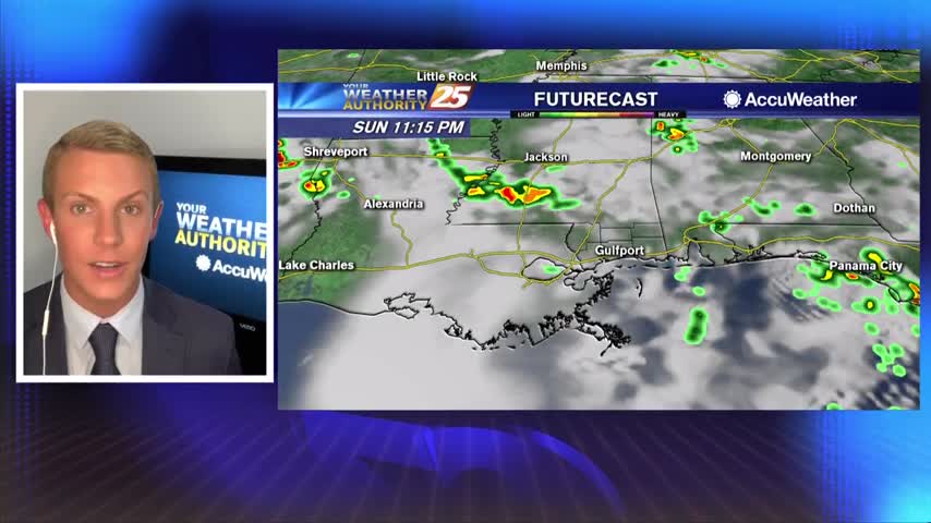
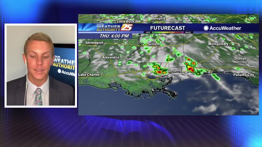
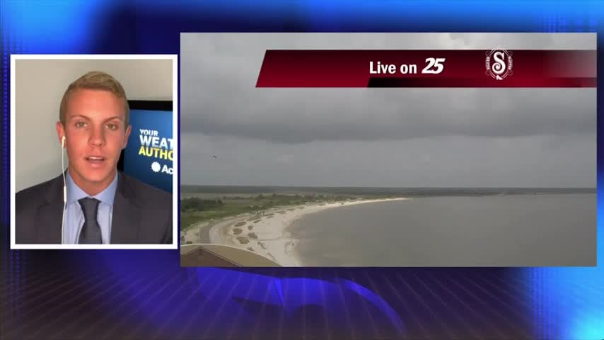
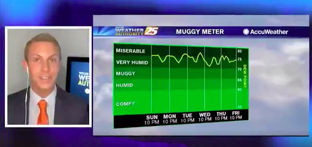
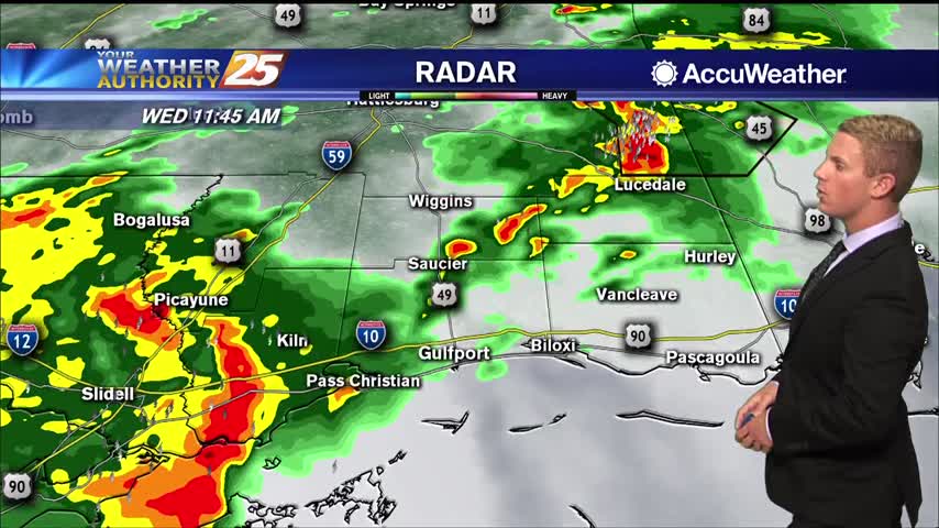
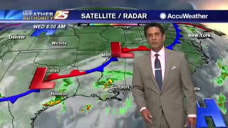
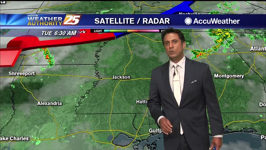
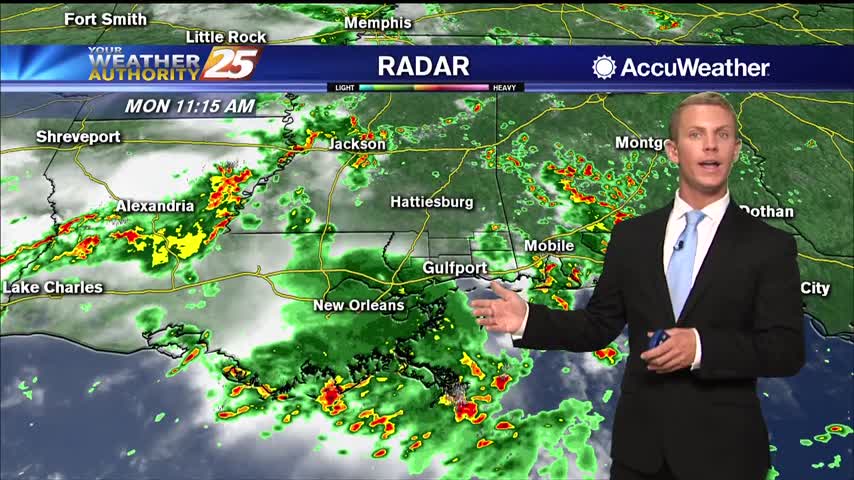
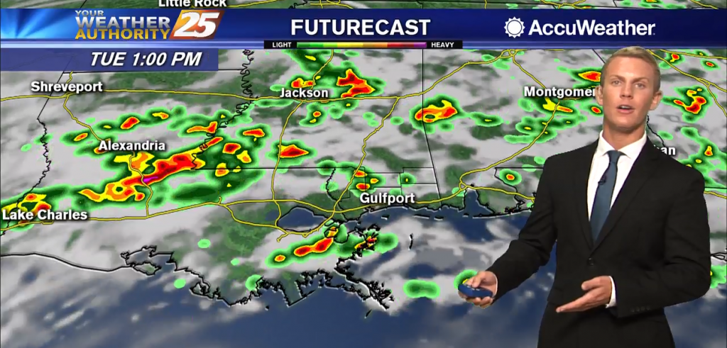
07/14 – Brantly's "Afternoon Storms Expected" Tuesday Forecast
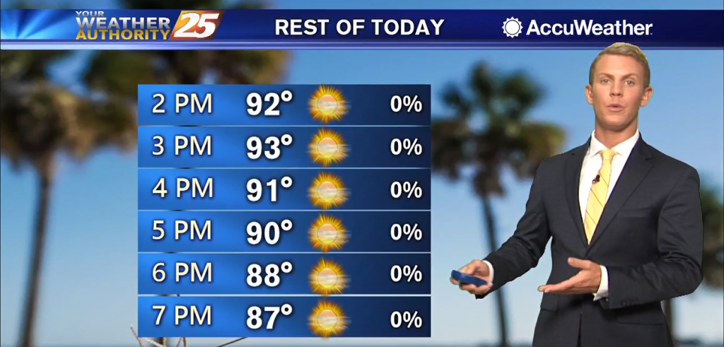
High temperatures are expected to top out in the mid to upper 90s once again across the Gulf Coast. Another Heat Advisory is in effect for all of South Mississippi until 8 p.m. Tuesday as heat index values are expected…