Rob Martin’s “Warmer-Especially Nights” Thursday Night Forecast
Humidity is increasing rather quickly from the east tonight, as our flow is now coming off the gulf. Although we had a weak southerly breeze today, humidity remained quite low today (under 30%), but it won’t last long. The south-southeast winds will be persistent, with a longer fetch of it as we head into the weekend.
High pressure that brought us the cool nights will drift east and move only slowly afterward, setting up that southerly flow.
That flow will increase humidity off the gulf this weekend, to the point where it will be felt. However, the high will remain close enough to keep some sinking air aloft, capping significant thunderstorm development over the weekend. We could see a some showers or a thunderstorm along the Mississippi coast this weekend, but that’s about it.
If we are going to see any significant precipitation over the next seven days, the “best” opportunity for it appears to be Sunday afternoon, but it is not necessarily a given and severe weather is not expected anyway.
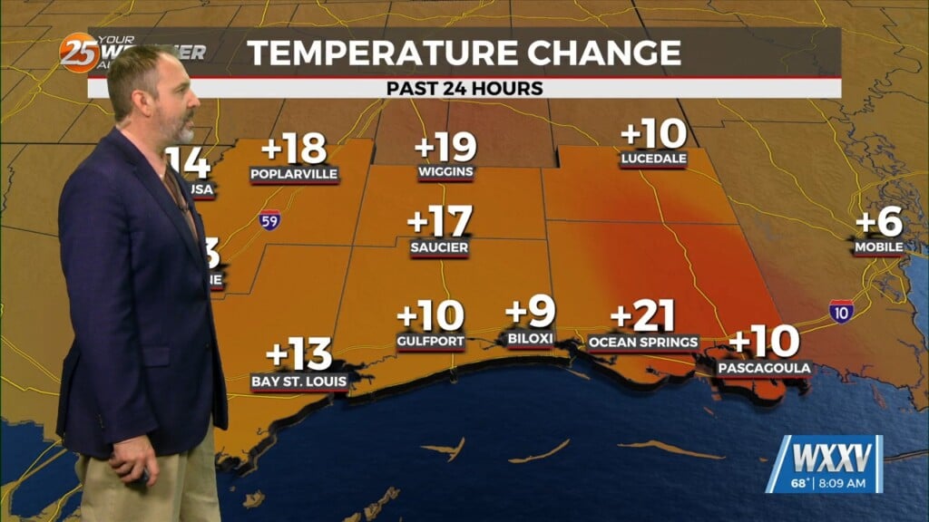
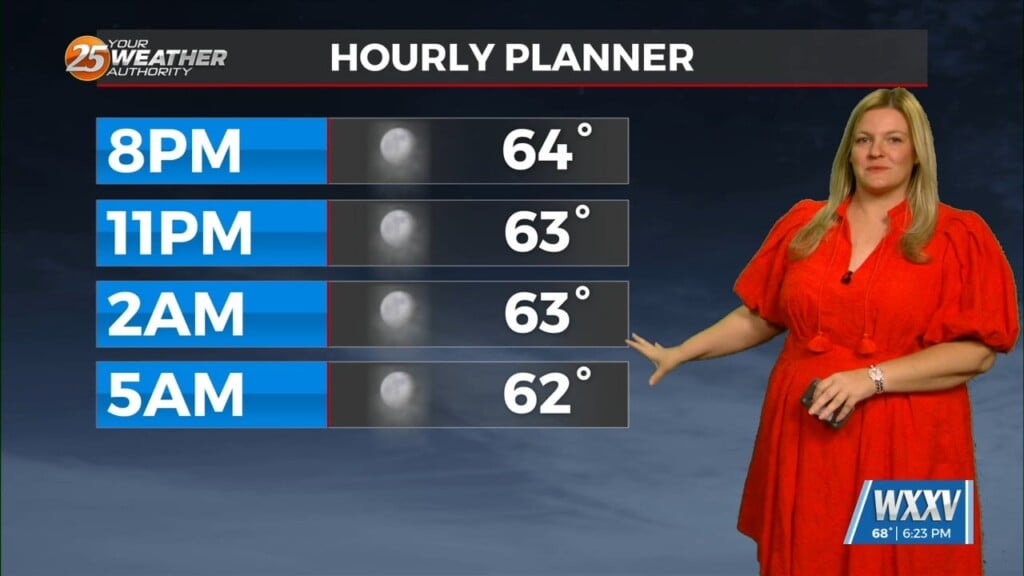
Expect lows in the mid 50s to low 60s tonight, a sharp contrast to the 40s we had in colder spots the last two nights. They’ll bump up to around 70 from Saturday deep into next week. Highs will start out in the lower 80s Friday/Saturday, climbing to the mid 80s from Sunday into next week. Inland areas could see upper 80s. Thunderstorm chances next week remain in the 20-30% range, being the scattered afternoon/evening variety.


