Rain and thunderstorms continue into the weekend
Meteorologist Sam Lucey has a look at the week ahead
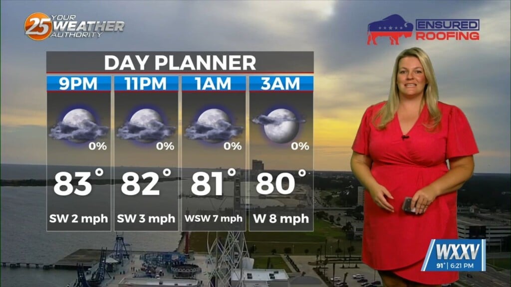
Tonight, scattered showers and thunderstorms will become more widespread after midnight, with periods of heavy rain possible overnight. It will stay warm and humid with lows in the upper 70s and breezy south winds from 15 to 20 mph, with gusts up to 30 mph.
Thursday looks wet, with showers and thunderstorms likely through much of the day. While not everyone will see rain the entire time, several rounds of storms could produce locally heavy rainfall, gusty winds, and frequent lightning. Highs will reach the mid 80s.
Rain chances gradually ease Thursday night, but won’t disappear completely. Expect a few lingering showers and storms with overnight lows in the upper 70s.
The unsettled pattern continues into Friday and Saturday, with scattered showers and thunderstorms each afternoon. While there will be dry periods, any storm that develops could produce heavy downpours.
By Sunday, the forecast begins to improve as rain chances decrease and sunshine becomes more abundant. That sets the stage for a hotter start to next week, with highs climbing into the upper 80s and lower 90s Monday through Wednesday.
Heat and humidity will once again become the main weather story, with only isolated afternoon thunderstorms returning by the middle of the week.