Heavy rain potential sticks around the rest of the week
Meteorologist Sam Lucey has a look at the week ahead
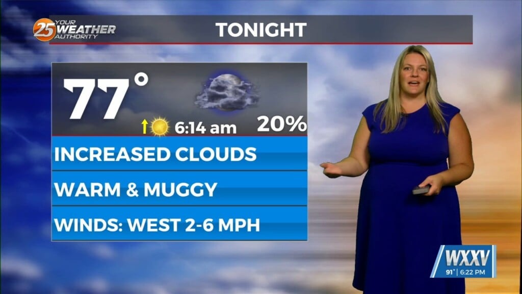
A few showers and thunderstorms will remain possible tonight, but the better chances arrive Tuesday and continue through at least Friday. Expect periods of showers and thunderstorms each day, with the highest coverage during the afternoon and evening hours. While not everyone will see rain all day, many locations will pick up multiple rounds of rainfall through the week.
Temperatures will remain seasonably warm despite the clouds and rain, with highs generally in the low to mid 80s and overnight lows in the mid to upper 70s. Breezy south winds will also develop by midweek, helping pull additional Gulf moisture into the region.
The good news is that widespread severe weather is not expected at this time, but there is a marginal risk for a few strong or severe storms on Wednesday. Any thunderstorm could produce heavy downpours, frequent lightning, and brief gusty winds. Be prepared for occasional interruptions to outdoor plans, especially during the afternoons.
Rain chances begin to ease somewhat over the weekend, although scattered storms will still be possible each day. By early next week, sunshine becomes more common and temperatures climb back into the lower 90s.