Heat sticks around as rain chances stay limited
Meteorologist Sam Lucey has a look at the week ahead
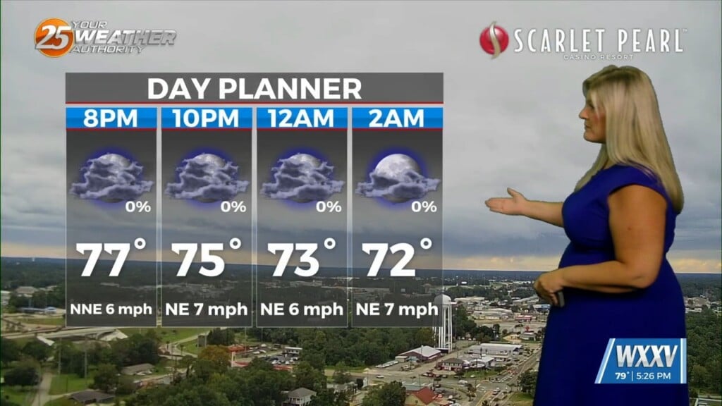
A few isolated showers and thunderstorms will remain possible through early this evening before skies turn mostly clear overnight. Temperatures will only fall into the upper 70s, making for another warm and muggy night along the Mississippi Gulf Coast.
Wednesday will be another hot day with plenty of sunshine. Afternoon highs will climb into the lower 90s, but humidity will push heat index values as high as 105 degrees. Only a stray afternoon thunderstorm is expected, with most communities staying dry.
The pattern stays similar on Thursday and Friday, with highs from the low to mid 90s and just a few afternoon showers and thunderstorms. While rain coverage remains limited through the end of the workweek, any storm that develops could produce brief heavy downpours, gusty winds, and frequent lightning.
Looking ahead to the weekend and early next week, moisture continues to increase across the Gulf Coast. That means scattered showers and thunderstorms will become more common, especially during the afternoon and evening hours Sunday through Tuesday. Even with the added rain chances, temperatures will remain seasonably hot, with highs in the lower 90s.