Dry on Wednesday, but a wetter stretch is ahead
Meteorologist Sam Lucey has a look at the forecast for south Mississippi
Tonight will be mostly clear and comfortable, with lows around 72 degrees at the coast and mid to upper 60s inland.
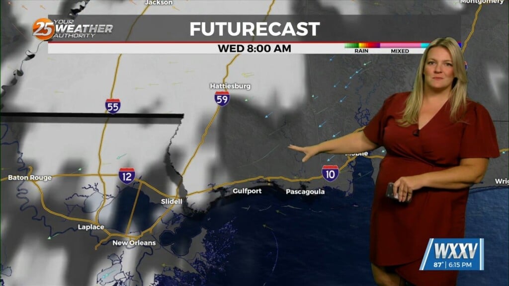
Wednesday looks like it will be another sunny day with highs near 88, although winds will pick up during the afternoon as they turn more southeast.
A few showers could sneak in early Thursday morning, but rain chances increase through the day. Temperatures will still climb to around 88 degrees, but showers and a few thunderstorms are likely from late morning into the afternoon, with a 60% chance of rain overall before things settle down around sunset.
Friday is when the wet pattern really settles in. Showers and thunderstorms will be likely throughout the day, with highs near 88, and scattered showers sticking around Friday night.
The unsettled weather continues through the weekend, with more rounds of showers and storms likely on both Saturday and Sunday, with highs in the mid 80s.
Rain chances will again remain high from Sunday night and into Monday. By Monday and Tuesday, provided the cold front passes through, temperatures witll trend cooler, with highs around 83 degrees.
However, if the front stalls out then showers and thunderstorms will still be possible both days, so we’ll continue to keep you updated on the potential changes.