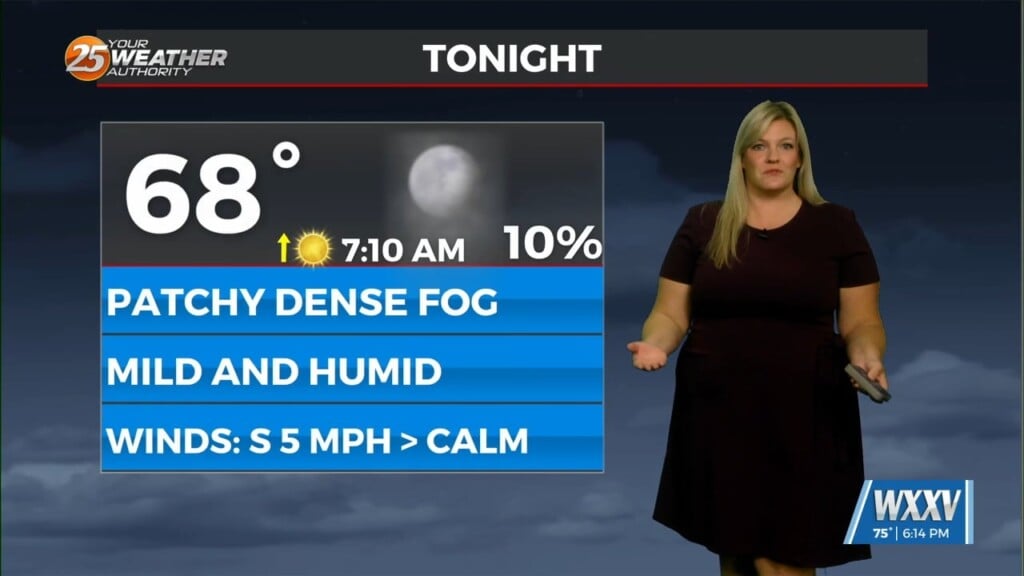
Dense fog possible tonight and trending cooler later this week
Meteorologist Sam Lucey has a look at the forecast for south Mississippi
Dense fog is expected to develop overnight, with visibility dropping to 1/4 mile or less in some areas, so use extra caution if you’re heading out the door early Wednesday morning.
We’ll see a mix of sunshine and clouds through the day, along with a few isolated showers during the morning and early afternoon as a cold front slowly advances through the area. Otherwise, temperatures will climb into the upper 70s with lows in the lower 60s.
Thursday looks a little more sunny and pleasant, with highs near 78. A few showers could return late Thursday night into Friday morning, but widespread rainfall isn’t expected.
Highs Friday could reach the upper 70s to low 80s before we see noticeable changes in temperatures over the weekend.
Cooler air settles in Friday night, sending overnight temperatures into the lower 50s. The weekend will be mostly sunny, but noticeably cooler, with highs in the mid 70s Saturday and the upper 60s to low 70s on Sunday. Morning temperatures will dip into the mid 40s Sunday.
The cooler weather sticks around into early next week. Expect plenty of sunshine Monday and Tuesday, with afternoon highs gradually climbing back into the lower to middle 70s. Overnight temperatures will remain cool, dipping into the middle 40s.