8/23 – The Chief’s “Much More Rain Ahead” Tuesday Afternoon Forecast
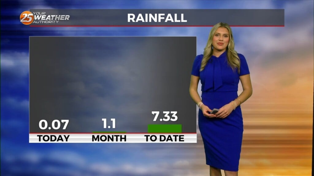
Rainfall tallies could be robust the farther north one moves though. This will be due to a surface low over east Texas and trough extending NE over Louisiana and Mississippi. WPC is showing a slight to moderate risk of excessive rainfall over these areas. Locally, we have a marginal to slight risk. Most of the showers/t-storms will be moving northward due to the draw of mass toward the surface low and trough. The larger scale persistent rainfall will be where these features are located. The trough interface will provide an area of focus and transference of moisture along its boundary but will be stationary causing a long term training of showers/t-storms for the next few days. This will be the case through Thursday.
Friday will keep a similar weather pattern as earlier in the week, with a weak disturbance still in place dominating the forecast. This will keep the risk of heavy rainfall and flash flooding around for one more day. The pattern begins to shift a bit heading into the weekend as the disturbance lifts out of the area and weak ridging begins to build in. This will bring in some mid-level dry air, reducing moisture flow back down to the climate normal for this time of year. Despite this drier air moving in, diurnally driven showers and thunderstorms are still likely through the weekend, but coverage will drop down closer to the 55-65% range compared to the 75-80% expected earlier in the week. The threat of heavy rain and localized flooding may persist with these diurnal showers and storms as storm motion is still expected to be quite limited. Temperatures climb back up to the upper 80s to low 90s as we get back into a more diurnally driven pattern.


