7/4 – Rob Martin’s “Had Enough Rain Yet?” Monday Night Forecast
All is well in the weather department through July 4th night. A good downpour ran right along I-10/Hwy 90 this afternoon, a product of the sea breeze and surface heating. A brief flood advisory was posted but there was no severe weather. It could be a similar setup Tuesday.
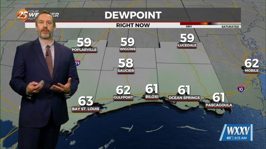
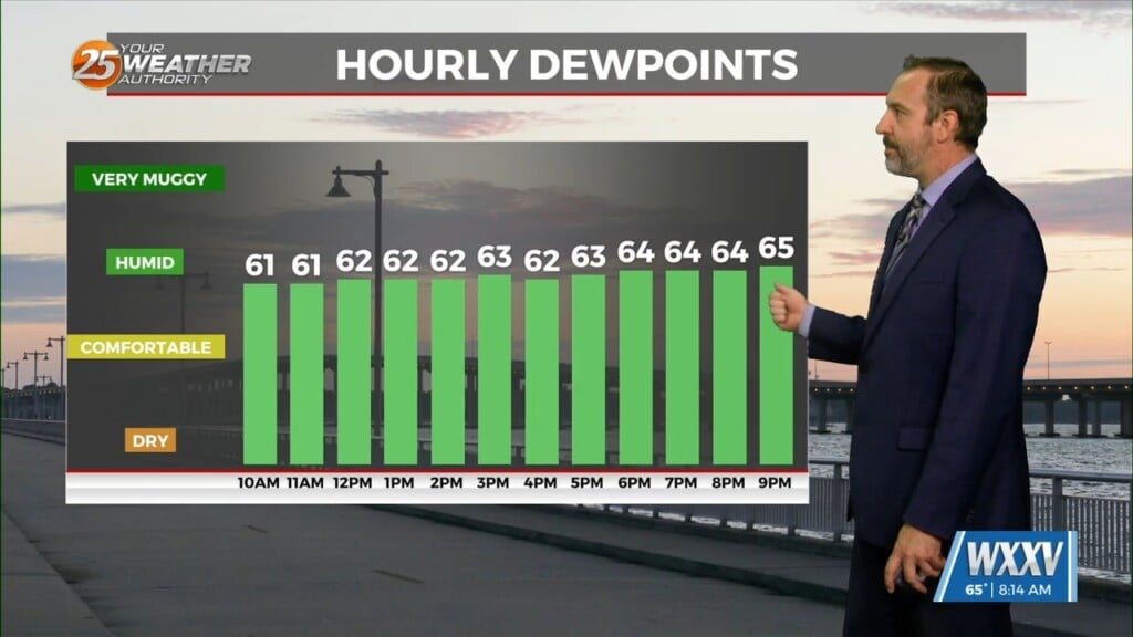
A southerly surface flow will push warm air and moisture into the area early this week enhancing lifting in the environment, so it’ll be more of the same through Wednesday. Elevated atmospheric moisture will allow for more efficient rainfall with higher rainfall rates. Scattered showers and storms will be likely daily, especially during the afternoon and evening hours with peak daytime heating, but some late-morning activity is possible. Locally heavy rainfall will be possible with stronger storms. Some frequent lightning and sub-severe wind gusts (30-50 mph) could also occur.
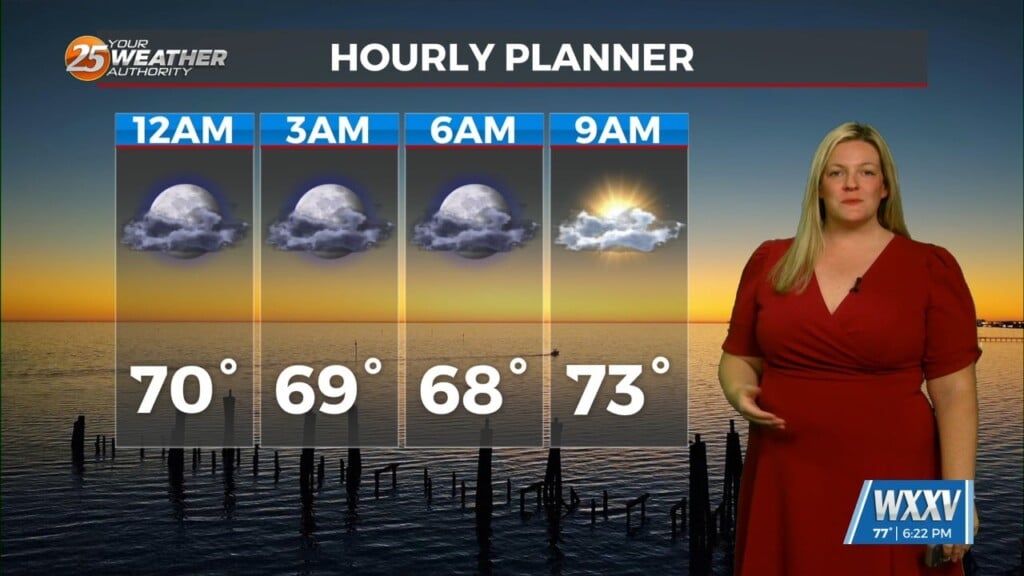
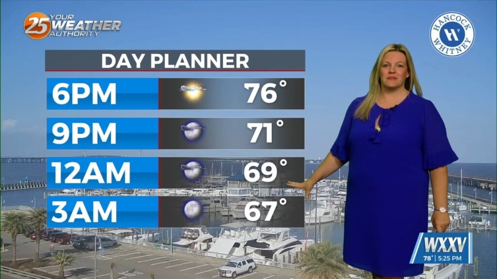
As for temperatures, areas with more sunshine will reach 90+ through Wednesday. Areas with more cloud cover and early showers will stay in the 80s. Later in the week, rain chances will lower as high pressure tries to build, pushing afternoon temps toward the mid-90s with real-feels approaching 105 (below heat advisory levels). Lows won’t stray too far from 80 late-week either.


