6/3 – Rob Martin’s “Weekend Outlook/Tropical Update” Friday Night Forecast
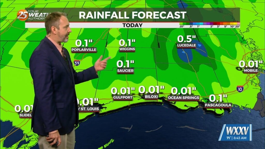
It’ll be relatively smooth sailing through Saturday once the Friday showers fizzle out. The weak cold front that brought those downpours will stall out and weaken over the weekend as slightly drier air filters in from the north, resulting in a relatively pleasant Friday night. With more subsidence (sinking air) to limit lift, storm chances on Saturday will be very low, although it will remain hot. A disturbance will pass through the area Sunday which slightly bumps up the precip chances, but overall storm probabilities over the weekend are slim. It’ll then dry out again for at least through the early part of next week.
Humidity will ramp up mid-week with nothing really organized to trigger t-storms. This will result in slight chances of afternoon/evening storms then, with real-feel temps around 100 at times to round out the work week.
Tropics wise, the National Hurricane Center will initiate advisories on Potential Tropical Cyclone One. Looking on satellite imagery it definitely looks a little better organized although wind shear aloft is shearing it and looking pretty lopsided. This system is expected to stay in the southeast Gulf of Mexico and western Caribbean moving northeastward towards southern Florida, with a decent chance it’ll be classified a tropical storm and named Alex. No impacts are expected for Louisiana and Mississippi, but the system could actually strengthen a bit once it clears the east coast of Florida.


