6/1 – Night Rob’s “Very June-Like Early June” Wednesday Evening Forecast
June has arrived and the weather is right on cue today with the spotty downpours, which is quite normal for this time of year…hot, muggy with a few showers/t-storms around. The moisture is being brought in at the surface from the Keys to the Yucatan Peninsula, then flowing northward and converging as it moves near the northern gulf coast. This focus of moisture will move back and forth over the coming days from near Mobile to New Orleans and when daytime heating is involved, the whole north central gulf coast will be in the mix to get a thunderstorm or two each day.
By Friday, a cold front will be either through the area or stalled/washed out right across it. The main hazard Friday would be brief heavy rainfall, and will likely be the “best” chance of more widespread activity out of the next several days. In terms of temperatures, the front won’t be strong enough to see much of reprieve from temps, as highs will still be in the upper 80s to lower 90s. Even dew points won’t fall enough to notice a difference in the humidity.
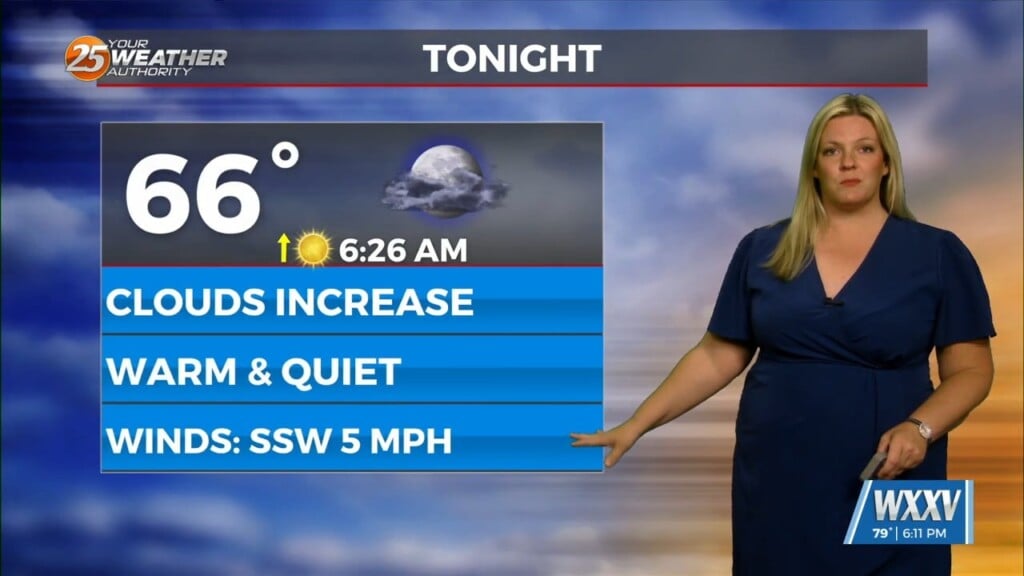
Storm chances will be less on Saturday, as a slightly drier flow develops with weak high-pressure, cutting off the gulf flow to an extent. Temps will thus have a chance to rise higher than we have seen in a while. Temps will gradually continue to warm with highs Sun-Tues in the mid-90s in some areas. Dew points remain in the low 70s so heat index values won`t be much higher than regular temp. Lows remain in the lower to mid-70s each night.


