5/30 – Rob Martin’s “Better T-Storm Chances Tuesday” Monday Evening Forecast
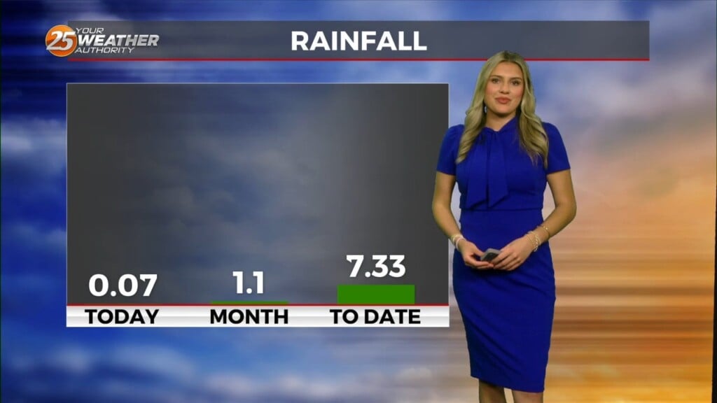
Heavier showers that went through Harrison County this afternoon have dissipated, but more could come in off the gulf by early Tuesday morning. With a sustained southeast flow off the gulf, we’re back to humid conditions and elevated overnight temperatures through the extended period.
So, most of the short term forecast period will be dry, with a good bit of sunshine. A stronger impulse will work its way westward underneath the high-pressure and produce a better chance of showers and storms Tuesday afternoon with somewhat better moisture available. This looks to be a bit more widespread than what we had Monday. We’ll go 30% that afternoon and evening. Coverage of showers and storms will be rather limited on Wednesday afternoon, but we cannot eliminate the possibility entirely.
A weak front will move into the area Thursday and Friday, then stall and slowly dissipate. Storms and showers will be widely scattered along the front, as fairly strong mid to upper level high-pressure persists over the region. This will act to cap widespread activity. Any storms should linger into the early evening hours before dissipating as daytime heating and overall instability wanes. Potential for some stronger wind gusts to develop out of the deepest cells will exist on Thursday and Friday.
High pressure will dominate more next weekend, but isolated thunderstorms could still form along the sea-breeze boundaries each afternoon. Weekend temperatures will climb close to 90 at the beaches, and close to the mid 90s inland…


