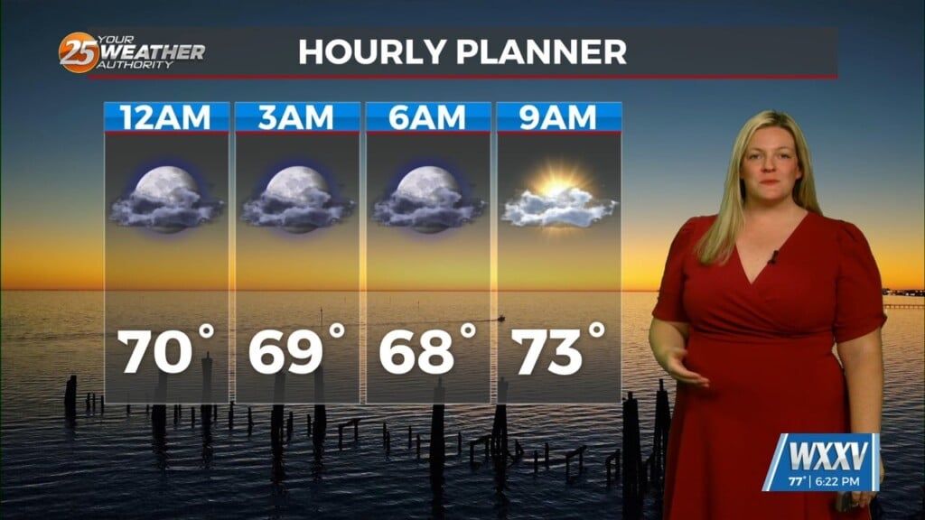
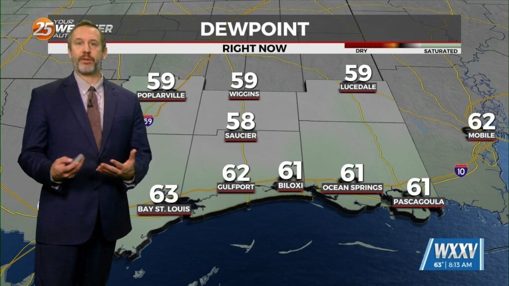
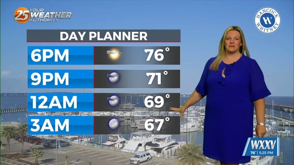
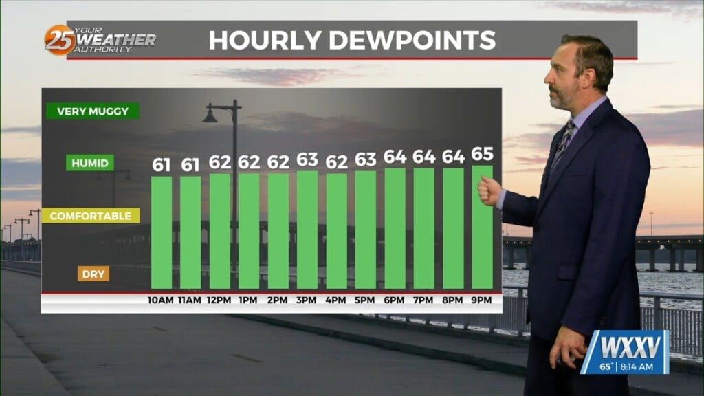
4/10 – Brittany’s “Wet Week Ahead” Sunday Evening Forecast
The next trough in line, starting out farther south than the Monday one, begins digging south and east over the southern Rockies on Tuesday. At the same time, upper ridge anchored east of the area over the western Atlantic begins to amplify. A shear axis between the trough to the northwest and ridge southeast will promote shower and thunderstorm development across the CWA Tuesday. A weak shortwave embedded within the trough looks to move across northern LA and southern AR. This will be the focus for severe potential closet to the CWA. Model soundings show low level stability will be the biggest limiting factor with that cap either never breaking or not happening until the end of the day. Some instability aloft means there`s some chance for a few hail producing storms. Generally, should be a Marginal Risk day, at best, with greatest potential in northwestern portions of the CWA.
LONG TERM (Wednesday through Saturday)…
Greater convective coverage comes Wednesday as the main trough develops an upper low which looks to occlude at the surface by the end of the day. That takes place way north near the starting point of the Mississippi River. Due to its positioning, cold front this far south really doesn’t have much driving force. Still, looking at relatively high coverage of showers and storms. Instability looks much better than Tuesday but with the main trough so far north, shear and helicity are quite poor. Could be some small hail but, again, not widespread severe. Rain continues Wednesday evening/night into Thursday time frame as the frontal boundary associated with the trough sags towards the coast. Of all threats, flash flooding will probably be the greatest of them during this periods. It`s mainly due to slow movement of the boundary.


