3/15 – Rob Martin’s “Into St. Patrick’s Day” Tuesday Evening Forecast
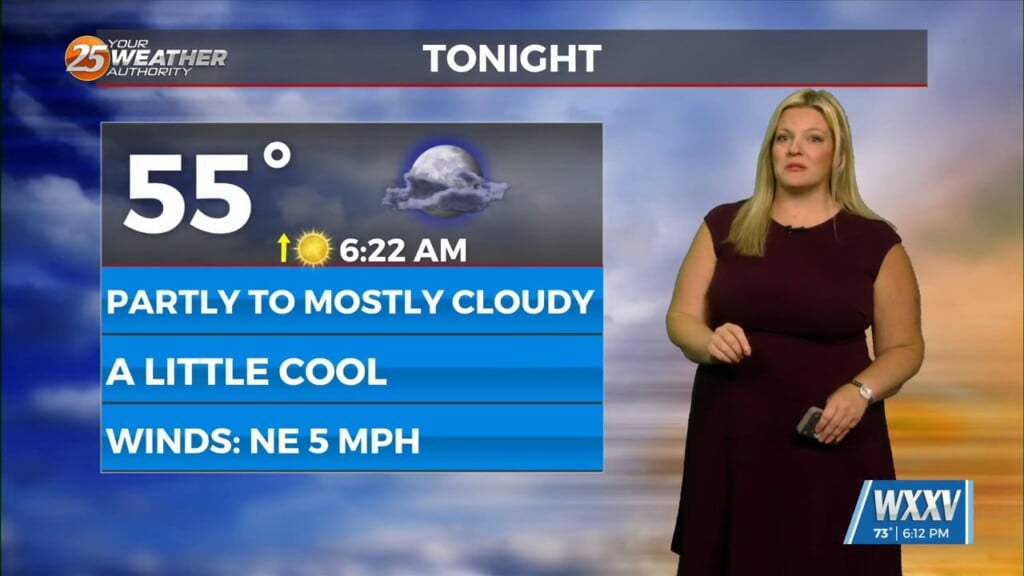
The low pressure area that brought the earlier thunderstorms has shifted northeast, but will remain close enough for perhaps a few spotty showers tonight. Expect lows in the lower 50s. Wednesday brings pleasant temperatures and low humidity with highs around 70. St. Patrick’s Day looks splendid with highs in the mid-70s. Pollen from trees and grass will be on the high side Wednesday and Thursday.
Another low pressure area (similar to the one we had Tuesday morning) arrives Friday morning with some more thunderstorms possible, and again exiting by afternoon. High pressure builds in from the northwest over the weekend, setting up nice days with low humidity. The weekend nights could get a bit chilly, with lows dipping down into the upper 40s. A southerly flow returns early next week with warmer temperatures.


