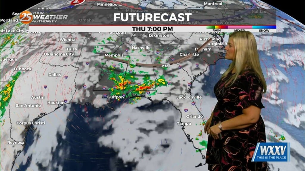
3/9 – Rob Martin’s “A Brief Break” Wednesday Evening Forecast
The same front that’s been bringing the rain and thunderstorms is still hanging around just off shore. We’re on the cooler, more stable side of it, so we’re looking at mainly just occasional showers through tonight. Any development over land will be elevated so we are not looking for any severe weather there, but it will need to be watched over marine areas into early tonight. Thursday will bring a brief dry period with weak high-pressure moving into the region. The next cold front will move very quickly through the region bringing showers/t-storms Friday afternoon and overnight. The thunderstorm threat Friday will be marginal, increasing just to the east of our forecast area.
Heading into the DST weekend, high-pressure will quickly move in Saturday with Clearing skies and WINDY conditions through Saturday night. A blast of cold air will have temperatures struggling to make it into the low/mid 50s this weekend with winds expected to gust into the 20/30 mph range at times. FREEZING TEMPERATURES Saturday night. Even with the winds calming down that night, wind chill “real feel” temps will drop into the lower 20s. High-pressure will quickly move east Sunday as the warm-up begins. We’ll be back to near-seasonable temps early next week.