3/3 – Meteorologist Rob Martin’s “great weather continues” Thursday Evening Forecast
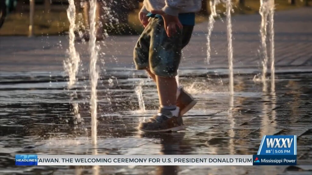
Dominant high pressure that has brought splendid weather will finally nudge to the east, bringing up those Thursday-night temps up a few more degrees. This will gradually allow our surface flow to turn onshore and allow moisture levels to increase. So, some patchy fog is possible Friday morning, with better chances Saturday morning as humidity rises further. Not much reason to make changes from previous forecast as lovely conditions will continue into the weekend. Coastal areas will approach 80 degrees, with inland zone getting into the lower 80s. Warm indeed. We can’t rule out a spotty shower in the western areas Saturday, but it won’t be a game changer.
As an upper level disturbance lifts northeastward through the Great Lakes region, a surface cold front will stall northwest of the local area on Sunday, resulting in continued warmth. Afternoon highs are forecast to rise into the low to possibly mid 80s which is a solid 10+ degrees higher than normal for this time of year. A few spotty afternoon showers will develop Sunday as well, but chances are low.
Monday brings changes as a cold front crawls through the area, bringing rain by afternoon, and perhaps a weak thunderstorm. This front could be quite the slow-mover and bring lingering rain or showers into next Wednesday. Temps will cool back to seasonable levels as well.


Leave a Reply