Warmer overnight, with more moisture arriving on Friday
Meteorologist Sam Lucey has a look at the forecast for south Mississippi
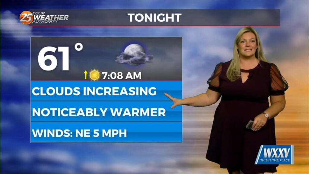
Tonight will stay partly cloudy with temperatures only dropping to the low 60s, which is a little warmer than the last several nights. Winds will remain light, becoming northeast around 5 mph after midnight.
Friday will bring a mix of clouds and sunshine, with afternoon highs reaching the upper 70s to right around 80. Winds will start out of the northeast before shifting southeast during the afternoon with dew points increasing throughout the day.
Rain chances increase Saturday and Sunday. Saturday will start with a mix of clouds and sunshine, but scattered showers could develop by late morning. A few thunderstorms are possible during the afternoon and evening. Highs will reach the upper 70s, with rain chances around 50%.
Showers and thunderstorms will become more likely Saturday night, with a 60% chance of rain and overnight lows near 68 degrees.
Sunday looks to be the wetter day of the weekend, with a 70% chance of showers and possibly a few thunderstorms, especially during the morning. Rain chances should gradually decrease through the afternoon as skies become partly sunny. Highs will reach the upper 70s.
Drier weather returns Monday, although clouds will stick around at times. We’ll see partly sunny skies and highs near 79 degrees. Northeast winds will pick up to around 10 to 15 mph.
Looking ahead, temperatures will remain fairly consistent through Wednesday, with highs in the upper 70s. A slight chance of showers develops Tuesday afternoon before rain chances increase Wednesday. Showers and possibly a few thunderstorms are expected, with south winds around 10 to 15 mph.
A cold front will move through by Wednesday night, bringing a noticeable change in temperatures. Lows will fall into the middle 50s, followed by sunny skies and afternoon highs in the middle 70s Thursday.