Weather stays quiet through midweek
Meteorologist Sam Lucey has a look at the forecast for south Mississippi
The weather pattern will stay relatively quiet across the Gulf Coast for the next few days, but the forecast takes a wetter turn heading into the weekend.
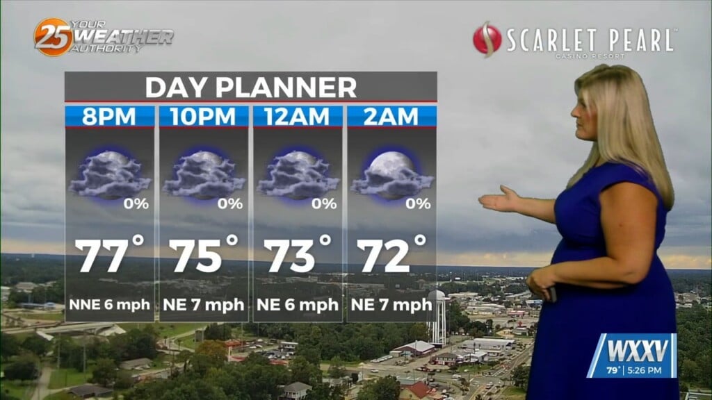
Tonight, skies will remain mostly cloudy with temperatures falling into the upper 60s. Northeasterly winds will stay light at around 5 to 10 mph.
Tuesday and Wednesday look to be the most pleasant days of the week. Partly sunny to mostly sunny skies will return, with highs in the mid 80s. Northeast winds around 10 to 15 mph will keep a little breeze going, especially near the coast, with overnight lows dropping into the upper 60s.
A few showers could sneak back into the forecast late Wednesday night and Thursday, but rain chances will remain fairly low across the board.
The pattern becomes more unsettled by Friday as moisture begins to increase. Scattered showers will become possible during the afternoon and evening, with highs again in the mid 80s. Winds will also pick up, with northeast winds around 15 mph and gusts up to 25 mph.
Depending on how this tropical system develops, we could see more we weather into the weekend. Showers will become increasingly likely Saturday, with breezy east winds of 15 to 20 mph and gusts up to 30 mph. Temperatures will stay in the low to mid 80s.
Rain chances remain high Sunday, when showers and thunderstorms are likely. Some of the storms could produce heavy rainfall, so localized flooding may become a concern if heavier rain repeatedly moves over the same areas. It will also remain breezy, with southeast winds around 15 to 20 mph.