09/18 Ryan’s “Cooler, Drier” Friday Morning Forecast
It felt almost like fall this morning with cooler, drier air in place, but it won't stay that way long.
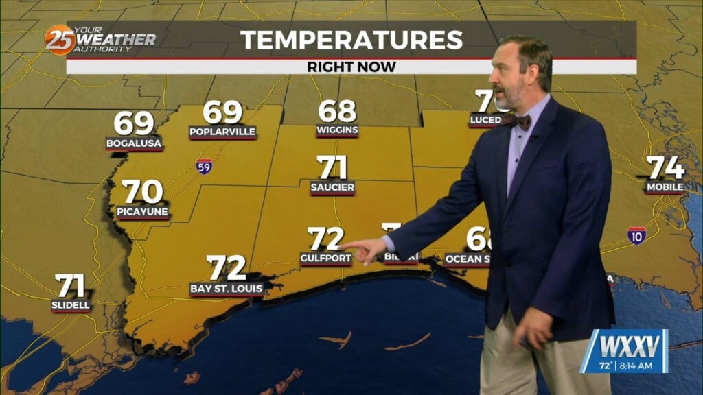
This morning was noticeably cooler than it has been trending recently, with lows falling into the mid 60s for a few coastal cities! That’s enough to remind us that cooler, drier fall-like air exists and isn’t far away, but this round of it won’t last long. In fact, expect to be firmly back into summer by the afternoon with the high once again climbing above our upper 80s normal with a high near 92°. Highs climb even further by the weekend as upper-level dry air and high pressure stacks over the Southeast, leading to highs in the mid 90s for Saturday and Sunday. Our current dry pattern will continue through that timeframe as well, with afternoon shower chances barely starting to creep back up by Sunday afternoon…only to increase further to “normal-or-higher” levels by the start of next week in the 20-30% range.